the mexican-american speaks - heritage in bronze - part 21 of 33. although the spanish-speaking communities of the us differ in origin, they share a common heritage and similar goals. focusing upon the largest group - mexican-americans - the film traces t - ventura county map stock videos & royalty-free footage00:31The Mexican-American Speaks - Heritage in Bronze - part 21 of 33. Although the Spanish-speaking communities of the US differ in origin, they share a common heritage and similar goals. Focusing upon the largest group - Mexican-Americans - the film traces tMap, City of Monterey - California, USA
close angle of small handheld device or digital display with map graphic. could be video games. iphone. cell phone. - ventura county map stock videos & royalty-free footage00:21CLOSE ANGLE OF SMALL HANDHELD DEVICE OR DIGITAL DISPLAY WITH MAP GRAPHIC. COULD BE VIDEO GAMES. IPHONE. CELL PHONE.USA
zoom in to oxnard, california, united states from earth. satellite view of the western usa. cinematic world map animation from outer space to territories. the concept of highlight the cities, globe, tourism, travel, journey, aerial view of country - ventura county map stock videos & royalty-free footage00:16Zoom in to Oxnard, California, United States from Earth. Satellite view of the Western USA. Cinematic world map animation from outer space to territories. The concept of highlight the cities, globe, tourism, travel, journey, aerial view of country
zoom in to oxnard, california, united states from earth. satellite view of the western usa. cinematic world map animation from outer space to territories. the concept of highlight the cities, globe, tourism, travel, journey, aerial view of country - ventura county map stock videos & royalty-free footage00:16Zoom in to Oxnard, California, United States from Earth. Satellite view of the Western USA. Cinematic world map animation from outer space to territories. The concept of highlight the cities, globe, tourism, travel, journey, aerial view of country
zoom in to oxnard, california, united states from earth. satellite view of the western usa. cinematic world map animation from outer space to territories. the concept of highlight the cities, globe, tourism, travel, journey, aerial view of country - ventura county map stock videos & royalty-free footage00:16Zoom in to Oxnard, California, United States from Earth. Satellite view of the Western USA. Cinematic world map animation from outer space to territories. The concept of highlight the cities, globe, tourism, travel, journey, aerial view of country
zoom in to oxnard, california, united states from earth. satellite view of the western usa. cinematic world map animation from outer space to territories. the concept of highlight the cities, globe, tourism, travel, journey, aerial view of country - ventura county map stock videos & royalty-free footage00:16Zoom in to Oxnard, California, United States from Earth. Satellite view of the Western USA. Cinematic world map animation from outer space to territories. The concept of highlight the cities, globe, tourism, travel, journey, aerial view of country
workers were seen running from federal immigration officers across a field in california's ventura county on tuesday, june 10, as ice raids continued... - ventura county map stock videos & royalty-free footage01:00Farm Workers Run From Federal Immigration Officers in Ventura County Field
spacex's falcon 9 rocket was spotted streaking across the sky over southern california on the morning of friday, january 24. the rocket carried 23... - ventura county map stock videos & royalty-free footage01:50SpaceX Rocket Spotted Streaking Across SoCal SkySpaceX
crews in southern california swiftly tackled a wildfire that burned dangerously close to infrastructure and traffic in malibu on november 6. footage... - ventura county map stock videos & royalty-free footage01:28Crews Perform Swift Aerial Drops to Curb Wildfire at Busy Malibu Intersection
evacuations were ongoing in california's ventura county overnight into thursday, november 7, as a fast-moving wildfire, fueled by santa ana winds and... - ventura county map stock videos & royalty-free footage05:56Wind-Driven Wildfire Grows Beyond 19,000 Acres in Ventura CountyWind, Santa Ana - California
the mountain fire, which began on wednesday, november 6, burned homes in california's ventura county, local outlets... - ventura county map stock videos & royalty-free footage01:37Palm Trees Burn as Mountain Fire Threatens Homes in Ventura County
pair of orca whales were spotted sharing a meal along the channel islands off the coast of southern california, video uploaded on june 27 shows.... - ventura county map stock videos & royalty-free footage01:36'Transient Killer Whales' Share a Meal Off the Coast of Southern CaliforniaOrca, Whale, Sea Lion
the skirball fire broke out on december 6 along interstate 405 near brentwood, los angeles, california, according to... - ventura county map stock videos & royalty-free footage00:33Skirball Fire Breaks Out Near Interstate 405 in Los AngelesWildfire
cu hand programming directions through navigation system / fillmore, california, usa - ventura county map stock videos & royalty-free footage04:17CU Hand programming directions through navigation system / Fillmore, California, USA
fire map at a fire station during the woolsey fire. - ventura county map stock videos & royalty-free footage00:13Woolsey Fire Map
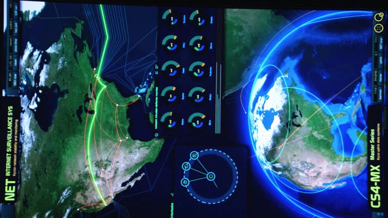
close angle of computer or digital display with visual game graphics and high tech map. could be video games. could be laptop. - ventura county map stock videos & royalty-free footage01:16CLOSE ANGLE OF COMPUTER OR DIGITAL DISPLAY WITH VISUAL GAME GRAPHICS AND HIGH TECH MAP. COULD BE VIDEO GAMES. COULD BE LAPTOP.Video Game