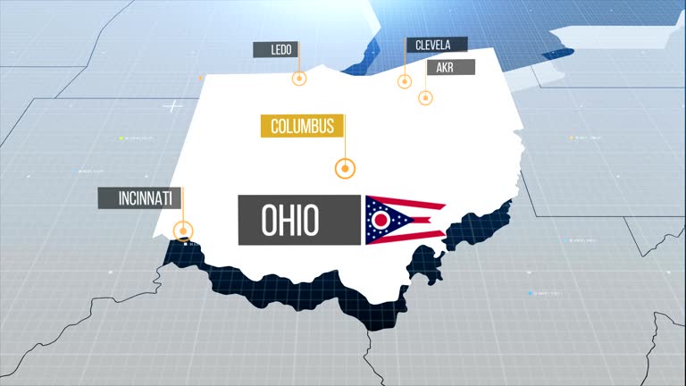
ohio state map with label then with out label - us midwest map stock videos & royalty-free footage00:20Ohio state map with label then with out labelOhio, Map, USA
illinois from usa states - us midwest map stock videos & royalty-free footage00:12Illinois from USA StatesMap, Illinois, Midwest USA
usa animated map. detailed map with divided states. - us midwest map stock videos & royalty-free footage00:10USA animated map. Detailed map with divided states.USA, Map, American Culture
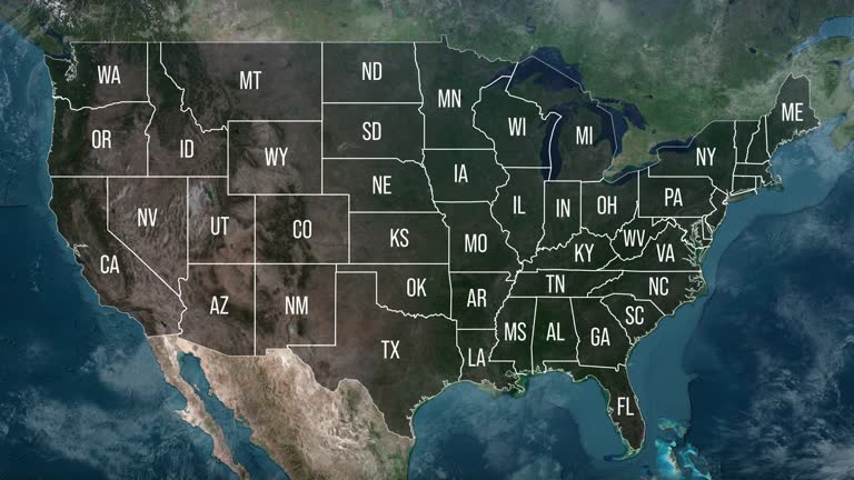
zoom in to united states from earth. highlighted us state abbreviations, satellite view of the us of america. cinematic world map animation from outer space to territories. the concept of usa, highlight, globe, aerial view, - us midwest map stock videos & royalty-free footage00:20Zoom in to United States from Earth. Highlighted US State Abbreviations, Satellite view of the US of America. Cinematic world map animation from outer space to territories. The concept of USA, highlight, globe, aerial view,USA, Map, Globe - Navigational Equipment
iowa from usa states - us midwest map stock videos & royalty-free footage00:13Iowa from USA StatesIowa, Map, USA
usa animated map. detailed map with divided states. - us midwest map stock videos & royalty-free footage00:10USA animated map. Detailed map with divided states.Map, USA, American Culture
usa animated map with divided states including hawaii and alaska. 4k - us midwest map stock videos & royalty-free footage00:10USA animated map with divided states including Hawaii and Alaska. 4kUSA, Map, American Culture
missouri from usa states - us midwest map stock videos & royalty-free footage00:13Missouri from USA StatesMap, Missouri, USA
zoom in to ohio, us from earth. satellite view of the united states of america. cinematic world map animation from outer space to territories. the concept of usa, highlight, globe, aerial view, tourism, travel, journey, cityscape - us midwest map stock videos & royalty-free footage00:16Zoom in to Ohio, US from Earth. Satellite view of the United States of America. Cinematic world map animation from outer space to territories. The concept of USA, highlight, globe, aerial view, tourism, travel, journey, cityscapeOhio, Map, Globe - Navigational Equipment
illinois flag and map of illinois zoomed to earth from space, real-time photo-animation. - us midwest map stock videos & royalty-free footage00:21Illinois flag and map of Illinois zoomed to earth from space, real-time photo-animation.Map
zoom in to united states from earth. highlighted us state abbreviations, satellite view of the us of america. cinematic world map animation from outer space to territories. the concept of usa, highlight, globe, aerial view, - us midwest map stock videos & royalty-free footage00:20Zoom in to United States from Earth. Highlighted US State Abbreviations, Satellite view of the US of America. Cinematic world map animation from outer space to territories. The concept of USA, highlight, globe, aerial view,Map, USA, New York State
united states - zoom on world map. animated shape vector map of united states. 4k video footage. motion graphics - us midwest map stock videos & royalty-free footage00:08United States - Zoom on World Map. Animated Shape Vector Map of United States. 4K Video Footage. Motion GraphicsMap, Boston - Massachusetts, New York City
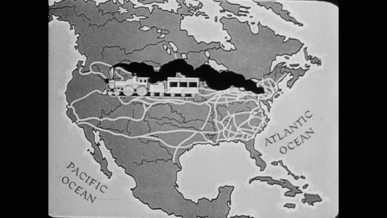
1945 a map of american train expansion - us midwest map stock videos & royalty-free footage00:301945 A map of American train expansionUSA, Map, Archival
close up on antique us map: illinois, indiana and ohio - us midwest map stock videos & royalty-free footage00:16Close up on antique US map: Illinois, Indiana and OhioMap, American Culture, District
michigan from usa states - us midwest map stock videos & royalty-free footage00:12Michigan from USA StatesMichigan, Map, USA
destination st louis - us midwest map stock videos & royalty-free footage00:10Destination St LouisMap, USA, St. Louis - Missouri
the steam age (history of transportation, part i) - part 26 of 29. describes the swift development of transportation in the united states from the time of the indians to the coming of the automobile. historical reenactments and unusual prints of the perio - us midwest map stock videos & royalty-free footage00:30The Steam Age (History of Transportation, Part I) - part 26 of 29. Describes the swift development of transportation in the United States from the time of the Indians to the coming of the automobile. Historical reenactments and unusual prints of the perioUSA, Map, Train - Vehicle
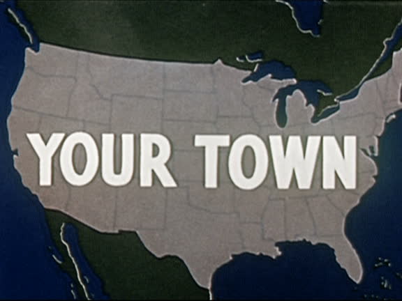
map of u.s. / your town" superimposed on map" - us midwest map stock videos & royalty-free footage00:08"1941 ANIMATION map of U.S. / "your town" superimposed on map"Map, USA, Cartoon
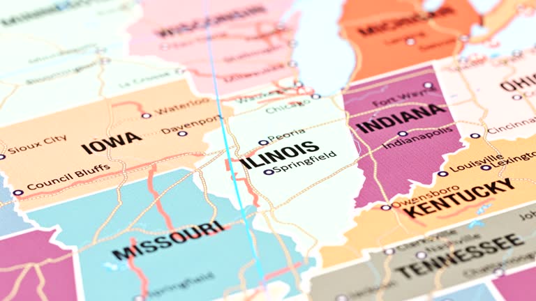
graphic of u.s. map with abbreviated state names; close up view of indiana with "indianapolis" labelled and other states around it - us midwest map stock videos & royalty-free footage00:12Map of the U.S. with state names, 1940sUSA, Map
usa map - us midwest map stock videos & royalty-free footage00:20USA MapMap, Chicago - Illinois, New York City
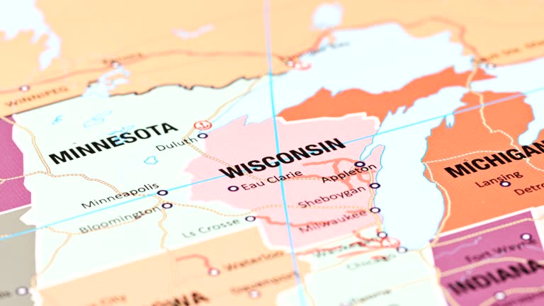
map of wisconsin united states america usa, 3d animation - us midwest map stock videos & royalty-free footage00:09Map of WISCONSIN United States America USA, 3D AnimationWisconsin, Map, USA
the railroad builders - part 3 of 24. film presents a dramatic account of the building of the first transcontinental railroad and explains how the railroad builders contributed to the westward expansion of the united states - us midwest map stock videos & royalty-free footage00:35The Railroad Builders - part 3 of 24. Film presents a dramatic account of the building of the first transcontinental railroad and explains how the railroad builders contributed to the westward expansion of the United StatesUSA, Map, Rail Transportation
usa, state of texas - us midwest map stock videos & royalty-free footage00:08USA, State of TexasMap, USA
zoom in to kansas, us from earth. satellite view of the united states of america. cinematic world map animation from outer space to territories. the concept of highlight the state, globe, tourism, travel, journey, aerial view of country, usa - us midwest map stock videos & royalty-free footage00:16Zoom in to Kansas, US from Earth. Satellite view of the United States of America. Cinematic world map animation from outer space to territories. The concept of highlight the state, globe, tourism, travel, journey, aerial view of country, USAMap, Kansas, USA
map of ohio united states america usa, 3d animation - us midwest map stock videos & royalty-free footage00:17Map of OHIO United States America USA, 3D AnimationOhio, USA, Map
michigan from usa states - us midwest map stock videos & royalty-free footage00:13Michigan from USA StatesDetroit - Michigan, Map, Michigan State University
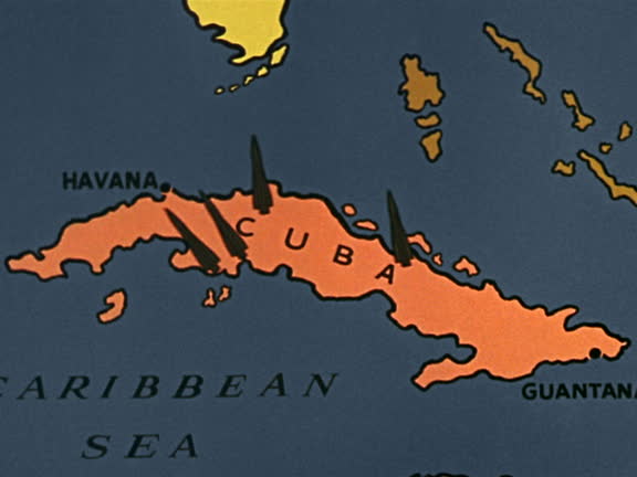
1960s close up map of cuba / zoom in animated missle silos or bomb locations appearing - us midwest map stock videos & royalty-free footage00:181960s close up map of Cuba / zoom in animated missle silos or bomb locations appearingCuba, Missile, Map
map of michigan united states america usa, 3d animation - us midwest map stock videos & royalty-free footage00:10Map of MICHIGAN United States America USA, 3D AnimationMichigan, Map, Michigan State University
zoom in to detroit, michigan, united states from earth. satellite view of the usa. cinematic world map animation from outer space to territories. the concept of highlight the cities, globe, tourism, travel, aerial view of country - us midwest map stock videos & royalty-free footage00:16Zoom in to Detroit, Michigan, United States from Earth. Satellite view of the USA. Cinematic world map animation from outer space to territories. The concept of highlight the cities, globe, tourism, travel, aerial view of countryGlobe - Navigational Equipment, Detroit - Michigan, USA
united states - zoom on world map. animated shape vector map of united states. 4k video footage. motion graphics - us midwest map stock videos & royalty-free footage00:08United States - Zoom on World Map. Animated Shape Vector Map of United States. 4K Video Footage. Motion GraphicsMap, North America, Outline
rare and dangerous heat wave has spread across the eastern united states, placing more than 160 million people under heat alerts as major cities... - us midwest map stock videos & royalty-free footage00:21MOTION GRAPHIC - Extreme heat wave grips eastern US with record-breaking temperaturesMap, USA, Chicago - Illinois
union station in chicago, illinois - us midwest map stock videos & royalty-free footage00:09Union Station in Chicago, IllinoisMap, USA, Rail Transportation
zoom in to chicago, illinois, united states from earth. satellite view of the usa. cinematic world map animation from outer space to territories. the concept of highlight the cities, globe, tourism, travel, aerial view of country - us midwest map stock videos & royalty-free footage00:16Zoom in to Chicago, Illinois, United States from Earth. Satellite view of the USA. Cinematic world map animation from outer space to territories. The concept of highlight the cities, globe, tourism, travel, aerial view of countryChicago - Illinois, Satellite View, USA
[united states] - 1 of 12 - us midwest map stock videos & royalty-free footage01:05[United States] - 1 of 12USA, Map
travel background - us midwest map stock videos & royalty-free footage00:10Travel BackgroundAirplane, Flying, World Map
wisconsin from usa states - us midwest map stock videos & royalty-free footage00:13Wisconsin from USA StatesWisconsin, Map, USA
global cities index earth - us midwest map stock videos & royalty-free footage00:30Global Cities Index EarthMap, Globe - Navigational Equipment, Planet - Space
iowa from usa states - us midwest map stock videos & royalty-free footage00:13Iowa from USA StatesIowa, Map, Des Moines - Iowa
northwestern states (2nd edition) - part 7 of 19. represents the northwestern states as the "breadbasket of the nation" and stresses the importance of their agricultural and mineral resources. animated maps illustrate the region's geographical characteris - us midwest map stock videos & royalty-free footage00:33Northwestern States (2nd edition) - part 7 of 19. Represents the Northwestern States as the "breadbasket of the nation" and stresses the importance of their agricultural and mineral resources. Animated maps illustrate the region's geographical characterisUSA, Butte - Montana, Map
"paramount news issue no 24" / title card: "paramount news election special" over map of us / title card: "again-victory for eisenhower day" / title:... - us midwest map stock videos & royalty-free footage02:33Voters in different places; Eisenhowers, Trumans, Deweys, Stevenson votingHarry Truman, Map, Winning
close up of oregon on a political usa map - us midwest map stock videos & royalty-free footage00:14Close Up of Oregon on a Political USA Map
3d us population map 3 - us midwest map stock videos & royalty-free footage00:283D US Population Map 3Map, USA, Rural Scene
indiana from usa states - us midwest map stock videos & royalty-free footage00:13Indiana from USA StatesIndiana University, USA, Indiana
dynamic earth rotation zoom into united states map – high resolution global geography animation for technology, news, data and business projects - us midwest map stock videos & royalty-free footage00:16Dynamic Earth Rotation Zoom Into United States Map – High Resolution Global Geography Animation for Technology, News, Data and Business ProjectsUSA, Globe - Navigational Equipment, Chicago - Illinois
zoom in to michigan, us from earth. satellite view of the united states of america. cinematic world map animation from outer space to territories. the concept of highlight the state, globe, tourism, travel, journey, aerial view of country, usa - us midwest map stock videos & royalty-free footage00:16Zoom in to Michigan, US from Earth. Satellite view of the United States of America. Cinematic world map animation from outer space to territories. The concept of highlight the state, globe, tourism, travel, journey, aerial view of country, USAMackinac Island, Detroit - Michigan, Map
guerrilla soldier watches as fidel castro points to map on table surrounded by men / news. - us midwest map stock videos & royalty-free footage00:03B/W 1959 guerrilla soldier watches as Fidel Castro points to map on table surrounded by men / news.Fidel Castro, Map, Cuba
usa map by states (3 of 8) ia, ks, ky, la, me, md, ma. loopable. - us midwest map stock videos & royalty-free footage01:02USA map by states (3 of 8) IA, KS, KY, LA, ME, MD, MA. Loopable.Kentucky, Map, USA
montage: construction of gm proving grounds in 1924 - us midwest map stock videos & royalty-free footage01:11Montage: construction of GM Proving Grounds in 1924General Motors, Construction Worker, 1920-1929
the railroad builders - part 10 of 24. film presents a dramatic account of the building of the first transcontinental railroad and explains how the railroad builders contributed to the westward expansion of the united states - us midwest map stock videos & royalty-free footage00:32The Railroad Builders - part 10 of 24. Film presents a dramatic account of the building of the first transcontinental railroad and explains how the railroad builders contributed to the westward expansion of the United States
"from its base at fort pitt, clark expedition proceeded to kaskaskia, which was occupied without a fight"; map tracking george rogers clark westward... - us midwest map stock videos & royalty-free footage00:46Map tracking George Rogers Clark westward expedition, 1920s ReenactmentUSA, Map
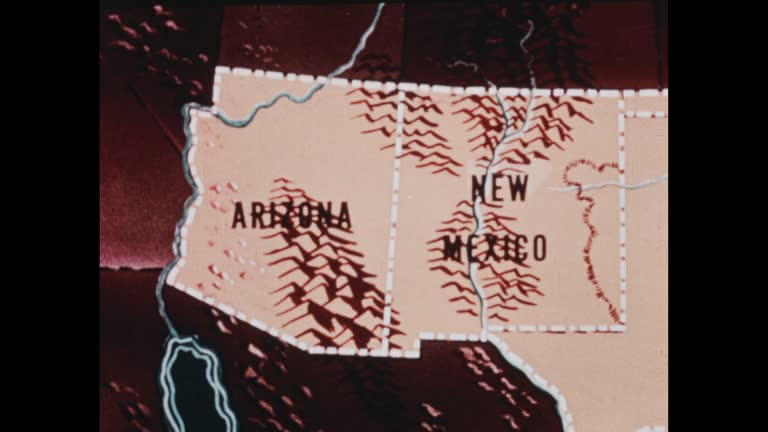
southwestern states (2nd edition) - part 1 of 19. traces population trends and explains geographical features by means of animated maps. illustrates such occupational activities as irrigation, stock raising, agriculture, mining, and oil extracting and ref - us midwest map stock videos & royalty-free footage00:29Southwestern States (2nd edition) - part 1 of 19. Traces population trends and explains geographical features by means of animated maps. Illustrates such occupational activities as irrigation, stock raising, agriculture, mining, and oil extracting and refMap, USA, New Mexico
discovery and exploration - part 13 of 18. surveys the period of discovery and exploration in north america between 1492 and 1700. analyzes three motives for this exploration--to find a new trade route to the far east, to search for riches, and to find be - us midwest map stock videos & royalty-free footage00:34Discovery and Exploration - part 13 of 18. Surveys the period of discovery and exploration in North America between 1492 and 1700. Analyzes three motives for this exploration--to find a new trade route to the Far East, to search for riches, and to find beLake Superior, Map, Hudson Bay
man loads mailbags into plane compartment, men by truck, one with clipboard, another handing up bags / man loading bags; he closes and latches nose... - us midwest map stock videos & royalty-free footage02:17US Senate's Black Committee looks into air mail processes and possible corruptionAirplane, Map, Washington DC
zoom in to michigan, us from earth. satellite view of the united states of america. cinematic world map animation from outer space to territories. the concept of usa, highlight, globe, aerial view, tourism, travel, journey, cityscape - us midwest map stock videos & royalty-free footage00:16Zoom in to Michigan, US from Earth. Satellite view of the United States of America. Cinematic world map animation from outer space to territories. The concept of USA, highlight, globe, aerial view, tourism, travel, journey, cityscapeMichigan, Map, Travel
oklahoma from usa states - us midwest map stock videos & royalty-free footage00:13Oklahoma from USA StatesOklahoma, Map, Tulsa
kansas from usa states - us midwest map stock videos & royalty-free footage00:13Kansas from USA StatesKansas, Map, Missouri
zoom in to detroit, michigan, united states from earth. satellite view of the usa. cinematic world map animation from outer space to territories. the concept of highlight the cities, globe, tourism, travel, aerial view of country - us midwest map stock videos & royalty-free footage00:16Zoom in to Detroit, Michigan, United States from Earth. Satellite view of the USA. Cinematic world map animation from outer space to territories. The concept of highlight the cities, globe, tourism, travel, aerial view of countryMichigan, Map, Zoom In
zoom in to kansas, us from earth. satellite view of the united states of america. cinematic world map animation from outer space to territories. the concept of usa, highlight, globe, aerial view, tourism, travel, journey, cityscape - us midwest map stock videos & royalty-free footage00:16Zoom in to Kansas, US from Earth. Satellite view of the United States of America. Cinematic world map animation from outer space to territories. The concept of USA, highlight, globe, aerial view, tourism, travel, journey, cityscapeMap, Kansas
mainland usa pops up after earth zoom (with alpha matte) - us midwest map stock videos & royalty-free footage00:22mainland USA pops up after earth zoom (with alpha matte)Canada, USA, Mexico
usa map by states (2 of 8) de, fl, ga, hi, id, il, in. loopable. - us midwest map stock videos & royalty-free footage01:02USA map by states (2 of 8) DE, FL, GA, HI, ID, IL, IN. Loopable.USA, Map
the french and indian war - seven years' war in america - part 7 of 27. recreates events in the struggle between the french and english. explains differences between french and english colonial policies, ways of living, and methods of conducting military - us midwest map stock videos & royalty-free footage00:31The French and Indian War - Seven Years' War in America - part 7 of 27. Recreates events in the struggle between the French and English. Explains differences between French and English colonial policies, ways of living, and methods of conducting militaryVirginia - US State, Colony - Group of Animals, USA
zoom in to wisconsin, us from earth. satellite view of the united states of america. cinematic world map animation from outer space to territories. the concept of usa, highlight, globe, aerial view, tourism, travel, journey, cityscape - us midwest map stock videos & royalty-free footage00:16Zoom in to Wisconsin, US from Earth. Satellite view of the United States of America. Cinematic world map animation from outer space to territories. The concept of USA, highlight, globe, aerial view, tourism, travel, journey, cityscapeWisconsin, Map, Green Bay
map showing portuguese exploration of africa - us midwest map stock videos & royalty-free footage00:13Map showing Portuguese exploration of AfricaMap, USA
discovery and exploration - part 8 of 18. surveys the period of discovery and exploration in north america between 1492 and 1700. analyzes three motives for this exploration--to find a new trade route to the far east, to search for riches, and to find bea - us midwest map stock videos & royalty-free footage00:35Discovery and Exploration - part 8 of 18. Surveys the period of discovery and exploration in North America between 1492 and 1700. Analyzes three motives for this exploration--to find a new trade route to the Far East, to search for riches, and to find beaMap, Kansas, 1940-1949
the steam age (history of transportation, part i) - part 27 of 29. describes the swift development of transportation in the united states from the time of the indians to the coming of the automobile. historical reenactments and unusual prints of the perio - us midwest map stock videos & royalty-free footage00:30The Steam Age (History of Transportation, Part I) - part 27 of 29. Describes the swift development of transportation in the United States from the time of the Indians to the coming of the automobile. Historical reenactments and unusual prints of the perioBaby - Human Age, Train - Vehicle, Animated Video
zoom in to north dakota, us from earth. satellite view of the united states of america. cinematic world map animation from outer space to territories. the concept of usa, highlight, globe, aerial view, tourism, travel, journey, cityscape - us midwest map stock videos & royalty-free footage00:16Zoom in to North Dakota, US from Earth. Satellite view of the United States of America. Cinematic world map animation from outer space to territories. The concept of USA, highlight, globe, aerial view, tourism, travel, journey, cityscapeNorth Dakota, USA, Business
zoom in to ohio, us from earth. satellite view of the united states of america. cinematic world map animation from outer space to territories. the concept of highlight the state, globe, tourism, travel, journey, aerial view of country, usa - us midwest map stock videos & royalty-free footage00:16Zoom in to Ohio, US from Earth. Satellite view of the United States of America. Cinematic world map animation from outer space to territories. The concept of highlight the state, globe, tourism, travel, journey, aerial view of country, USAOhio, Zoom In, USA
zoom in to missouri, us from earth. satellite view of the united states of america. cinematic world map animation from outer space to territories. the concept of highlight the state, globe, tourism, travel, journey, aerial view of country, usa - us midwest map stock videos & royalty-free footage00:16Zoom in to Missouri, US from Earth. Satellite view of the United States of America. Cinematic world map animation from outer space to territories. The concept of highlight the state, globe, tourism, travel, journey, aerial view of country, USAMissouri, St. Louis - Missouri, Map
santa fe and the trail - part 4 of 34. presents a picture of life in the spanish settlements of the old southwest. the film illustrates differences and similarities between spanish and american cultures, how they have blended over the years to give the so - us midwest map stock videos & royalty-free footage00:34Santa Fe and the Trail - part 4 of 34. Presents a picture of life in the Spanish settlements of the old Southwest. The film illustrates differences and similarities between Spanish and American cultures, how they have blended over the years to give the soUSA, Immigrant, 19th Century
northwestern states (2nd edition) - part 2 of 19. represents the northwestern states as the "breadbasket of the nation" and stresses the importance of their agricultural and mineral resources. animated maps illustrate the region's geographical characteris - us midwest map stock videos & royalty-free footage00:31Northwestern States (2nd edition) - part 2 of 19. Represents the Northwestern States as the "breadbasket of the nation" and stresses the importance of their agricultural and mineral resources. Animated maps illustrate the region's geographical characterisGrass, Map, Kansas
the middle states (2nd edition) - part 5 of 19. reveals the balance of agriculture and industry which exists in the region of the eight middle states. shows the four distinct economic belts; interdependence of the middle states with the other states; the - us midwest map stock videos & royalty-free footage00:30The Middle States (2nd edition) - part 5 of 19. Reveals the balance of agriculture and industry which exists in the region of the eight middle states. Shows the four distinct economic belts; interdependence of the middle states with the other states; theWisconsin, 1950-1959, Minnesota
"roads! more roads!" / title card: "editor's note: america is on the road, in small cars and in big ones – on long trips and week-ends, vacation time... - us midwest map stock videos & royalty-free footage02:21Examples in New York of how roads and highways play major role in American lifeHighway, 1930-1939, USA
graphic tally of american and japanese ships lost / american destroyers at sea, firing / map of new guinea, australia, solomon islands, with arrows... - us midwest map stock videos & royalty-free footage01:47Sea Victory For Allies At Solomon IslandsGuadalcanal Island, Papua New Guinea, World War II
an animated map showing a route of george armstrong custer and custer with soldiers riding horses in landscape, lead, sd, us, 1938. a documentary... - us midwest map stock videos & royalty-free footage00:23Route of General Custer, Lead, SD, USWestward Expansion, USA, Gold Rush
usa map by states (8 of 8) va, wa, wv, wi, wy, dc. loopable. - us midwest map stock videos & royalty-free footage00:54USA map by states (8 of 8) VA, WA, WV, WI, WY, DC. Loopable.Wyoming, Map, USA
usa map by states (7 of 8) sc, sd, tn, tx, ut, vt. loopable. - us midwest map stock videos & royalty-free footage00:54USA map by states (7 of 8) SC, SD, TN, TX, UT, VT. Loopable.Map, Tennessee, USA
animated mobilization map. points from washington d.c. to chicago san antonio san francisco - us midwest map stock videos & royalty-free footage00:04Mobilization map
map showing migration in 1800s from asia to the united states - us midwest map stock videos & royalty-free footage00:19B/W 1946 map showing migration in 1800s from Asia to the United StatesEmigration and Immigration, USA, Map