pilgrims sail for america - uk coastline map stock videos & royalty-free footage00:25Pilgrims sail for AmericaCartoon, Immigrant, USA
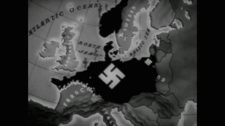
hitler meets with his generals in berlin to plan for his hoped for invasion. a quote appears on the screen: "where napoleon failed, i shall succeed.... - uk coastline map stock videos & royalty-free footage01:29WWII, Adolf Hitler looks across the ocean from the port of Calais to the white cliffs of Dover before an animated map explains how Great Britain is all that stands in Germany's way of world dominationWorld War II, Map, 1940
intricate waterways weaving through salt marshes in tollesbury, england - uk coastline map stock videos & royalty-free footage00:20Intricate waterways weaving through salt marshes in tollesbury, englandWetland, UK, Salt Marsh
cu pan shot of detail of map plotting the normandy invasion on the english coast from dartmouth to plymouth / portsmouth, united kingdom - uk coastline map stock videos & royalty-free footage00:09CU PAN Shot of detail of map plotting the Normandy invasion on the English coast from Dartmouth to Plymouth / Portsmouth, United KingdomD Day, Map, UK
shetland islands come under increased strain from cruise ships coming ashore; scotland:extair view drone footage of shetlandcruise ship in... - uk coastline map stock videos & royalty-free footage04:39Shetland Islands come under increased strain from cruise ships coming ashoreShetland Islands, UK, Map
colour graphics of a map showing the usa, mexico, central america, and the caribbean. clip starts with a wide view of the area showing the mexican... - uk coastline map stock videos & royalty-free footage00:11Zoom into map showing location of Puerto Rico; 1977Map, USA, Puerto Rico
ws view of plywood map plotting the normandy invasion hangs on wall at southwick house / portsmouth, united kingdom - uk coastline map stock videos & royalty-free footage00:13WS View of plywood map plotting the Normandy invasion hangs on wall at Southwick house / Portsmouth, United KingdomD Day, Strategy, Military
looking for directions on our road trip - uk coastline map stock videos & royalty-free footage00:20Looking for Directions on our Road TripDriving, UK, Mature Adult
the sea dam; france: brittany:extgeneral view sea, sea washing against rocks, rocky coastline, longer coastline map showing suggested dam sites for... - uk coastline map stock videos & royalty-free footage03:12ITN Roving Report: The Sea DamFrance, Coastline, Map
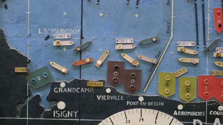
cu pan shot of detail of map plotting the normandy invasion pan right several allied vessels on the coast of normandy / portsmouth, united kingdom - uk coastline map stock videos & royalty-free footage00:11CU PAN Shot of detail of map plotting the Normandy invasion pan right several allied vessels on the coast of Normandy / Portsmouth, United KingdomD Day, Map
cu pan shot of detail of map plotting the normandy invasion on the english coast from fowey to plymouth to dartmouth / portsmouth, united kingdom - uk coastline map stock videos & royalty-free footage00:10CU PAN Shot of detail of map plotting the Normandy invasion on the English coast from Fowey to Plymouth to Dartmouth / Portsmouth, United KingdomDwight Eisenhower, Map, D Day
ms shot of detail of map plotting normandy invasion shows sign saying set for d day 6th june 1944 / portsmouth, united kingdom - uk coastline map stock videos & royalty-free footage00:06MS Shot of detail of map plotting Normandy Invasion Shows Sign Saying set for d day 6th June 1944 / Portsmouth, United KingdomD Day, Map, Military Invasion
scotland, loch ba landscape / scotland - uk coastline map stock videos & royalty-free footage00:27Scotland, Loch Ba landscape / ScotlandScotland, Map
cus computer 'moving map' used to navigate military plane; 1962 - uk coastline map stock videos & royalty-free footage00:15CUs computer 'moving map' used to navigate military plane; 1962Surveillance, Technology, Archival
map of france with arrows showing route of free french forces from southern england to northern france and their route into southern france / shot... - uk coastline map stock videos & royalty-free footage00:29During World War II, soldiers of Free French Forces return to France to fight German forces and land on beach at NormandyD Day, UK, Armored Tank
storm passing the sandy coastline / england, united kingdom - uk coastline map stock videos & royalty-free footage00:47MONTAGE Storm passing the sandy coastline / England, United Kingdom
men plot on map where telephone lines connect around the country, a telephone cable is nestled among rocks and the shoreline of the town of blackpool... - uk coastline map stock videos & royalty-free footage00:22MONTAGE Men plot on map where telephone lines connect around the country, a telephone cable is nestled among rocks and the shoreline of the town of Blackpool / Blackpool, England, United Kingdom
'braer' tanker disaster; c4n int helicopterscotland: shetland isl: quendale baytls braer on the rocks pull out to bv of john macgregor lookingcms... - uk coastline map stock videos & royalty-free footage04:40'Braer' Tanker disaster
scotland; scotland highlandseigglms people along to polling station intla presiding officers near ballot boxms side person placing vote in ballot... - uk coastline map stock videos & royalty-free footage01:49General Election: Scotland
blue shark migration graphic uk to usa - uk coastline map stock videos & royalty-free footage00:14Blue Shark migration graphic UK to USABlue Shark
gordon brown visits raf valley in anglesey; intgordon brown chatting to raf personnel and pilots in office/ raf pilots showing gordon brown map of... - uk coastline map stock videos & royalty-free footage03:46Gordon Brown visits RAF Valley in Anglesey
london array offshore wind farm; england: kent:intman in london array offices showing reporter map of kent coastline and location of london array... - uk coastline map stock videos & royalty-free footage00:46Energy: London Array offshore wind farm
powerful storm st jude set to sweep across england and wales; england: dorset:extsurfboard on ground with beach in backgroundpeople kitesurfing at... - uk coastline map stock videos & royalty-free footage01:56Powerful storm St Jude set to sweep across England and Wales
people risking their lives taking selfies on chalk cliffs; england: east sussex:extchalk cliffs and beach belowman walking along the cliff edge and... - uk coastline map stock videos & royalty-free footage01:28People risking their lives taking selfies on chalk cliffs
"air nuts take off! venice, calif. -- new pilots seek sky honors! entries from four nations are all on edge for start of gas bag derby classic." /... - uk coastline map stock videos & royalty-free footage01:41Monkeys go up in hot air balloons from Venice beach in CaliforniaJumping, Hot Air Balloon
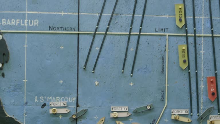
cu td shot of detail of map plotting the normandy invasion vessels and lines crossing the english channel toward the coast of normandy / portsmouth, united kingdom - uk coastline map stock videos & royalty-free footage00:21CU TD Shot of detail of map plotting the Normandy invasion vessels and lines crossing the English channel toward the coast of Normandy / Portsmouth, United Kingdom
cu pan shot of detail of map plotting the normandy invasion vessels crossing the english channel toward the coast of normandy / portsmouth, united kingdom - uk coastline map stock videos & royalty-free footage00:11CU PAN Shot of detail of map plotting the Normandy invasion vessels crossing the English channel toward the coast of Normandy / Portsmouth, United Kingdom
cu td shot of detail of map plotting the normandy invasion vessels and lines crossing the english channel toward the coast of normandy / portsmouth, united kingdom - uk coastline map stock videos & royalty-free footage00:12CU TD Shot of detail of map plotting the Normandy invasion vessels and lines crossing the English channel toward the coast of Normandy / Portsmouth, United KingdomStrategy, Map, Military
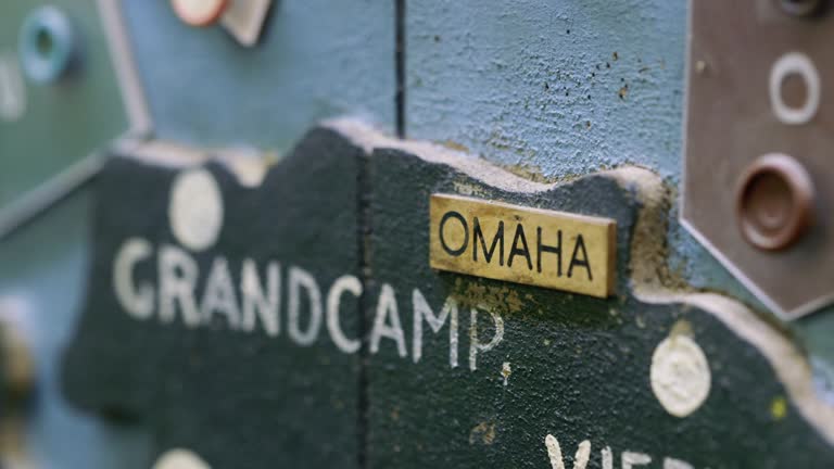
cu pan shot of detail of map plotting the normandy invasion from utah beach to omaha beach / portsmouth, united kingdom - uk coastline map stock videos & royalty-free footage00:15CU PAN Shot of detail of map plotting the Normandy invasion from Utah beach to Omaha beach / Portsmouth, United KingdomD Day
ms td shot of detail of map plotting the normandy invasion showing lines from the english channel leading to the coast of normandy and omaha beach / portsmouth, united kingdom - uk coastline map stock videos & royalty-free footage00:19MS TD Shot of detail of map plotting the Normandy invasion showing lines from the English channel leading to the coast of Normandy and Omaha beach / Portsmouth, United KingdomD Day, Strategy, Military
ms pan shot of detail of map plotting the normandy invasion shows several vessels heading for the coast of normandy / portsmouth, united kingdom - uk coastline map stock videos & royalty-free footage00:12MS PAN Shot of detail of map plotting the Normandy invasion shows several vessels heading for the coast of Normandy / Portsmouth, United KingdomD Day
great britain w/ anti-aircraft cannon icons scattered along coastlines. - uk coastline map stock videos & royalty-free footage00:09Map Great Britain
united kingdom; france; europe archival newsreel footage documents allied air operations against german military, transportation, and industrial... - uk coastline map stock videos & royalty-free footage03:03Allied Bombing Operations Against German Military Transportation and Industrial Targets in Europe
aerial view of holy island causeway and its area, holy island, united kingdom - uk coastline map stock videos & royalty-free footage00:30Aerial view of Holy Island Causeway and its area, Holy Island, United Kingdom
aerial view of holy island causeway and its area, holy island, united kingdom - uk coastline map stock videos & royalty-free footage00:30Aerial view of Holy Island Causeway and its area, Holy Island, United Kingdom
sullom voe oil extraction planning model, scotland; 1974 - uk coastline map stock videos & royalty-free footage00:31Sullom Voe oil extraction planning model, Scotland; 1974North Sea, Natural Gas
intricate waterways weaving through salt marshes in tollesbury, england - uk coastline map stock videos & royalty-free footage00:30Intricate waterways weaving through salt marshes in tollesbury, englandNatural Pattern, Wetland, Aerial View
london:cms paul spedding interview sof"bp amongst -- investment"off dorset coast:dorset coast pull back r-l exploratory oil rig platformcms oilmen... - uk coastline map stock videos & royalty-free footage02:51BP Alaska1980-1989, Forest
map sign reads “welcome to port solent” on october 26, 2020 in portsmouth, england. - uk coastline map stock videos & royalty-free footage00:16Port Solent In Portsmouth, England
map sign reads “welcome to port solent” on october 26, 2020 in portsmouth, england. - uk coastline map stock videos & royalty-free footage00:13Port Solent In Portsmouth, England
map sign reads “welcome to port solent” on october 26, 2020 in portsmouth, england. - uk coastline map stock videos & royalty-free footage00:11Port Solent In Portsmouth, England
map sign reads “welcome to port solent” on october 26, 2020 in portsmouth, england. - uk coastline map stock videos & royalty-free footage00:06Port Solent In Portsmouth, England
map sign reads “welcome to port solent” on october 26, 2020 in portsmouth, england. - uk coastline map stock videos & royalty-free footage00:10Port Solent In Portsmouth, England
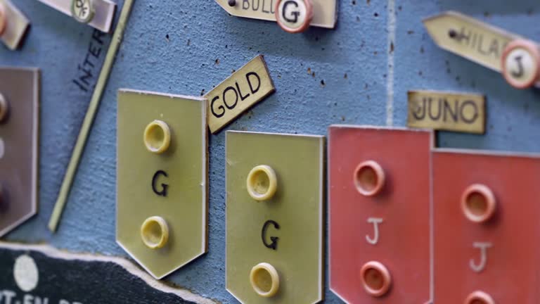
day veterans gather at southwick house; england: portsmouth: southwick house:intgvs map room objects / charts mounted on the wall showing troop... - uk coastline map stock videos & royalty-free footage02:27RUSHES: D-Day 80: D-Day Veterans gather at Southwick House
retired man checking a map - uk coastline map stock videos & royalty-free footage00:16Retired man checking a map
raf navigator uses computer to direct military plane; 1962 - uk coastline map stock videos & royalty-free footage00:11RAF navigator uses computer to direct military plane; 1962RAF, The Past, Computer
[part of the "soldiers all" documentary from the "canada carries on" series; vo narration throughout by lorne greene] two soldiers walking in hilltop... - uk coastline map stock videos & royalty-free footage01:46Documentary "Soldiers All": Canadian soldiers prepare for the war in England; British royalty watches Canadian military exercise
finding directions on his mobile phone - uk coastline map stock videos & royalty-free footage00:16Finding Directions on his Mobile Phone
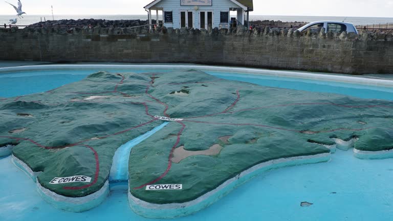
an isle of white paddling pool in ventnor on the isle of white, uk. - uk coastline map stock videos & royalty-free footage00:06An Isle of White paddling pool in Ventnor on the Isle of White, UK.
an isle of white paddling pool in ventnor on the isle of white, uk. - uk coastline map stock videos & royalty-free footage00:13An Isle of White paddling pool in Ventnor on the Isle of White, UK.
slow fly past of beachy head lighthouse. - uk coastline map stock videos & royalty-free footage00:23Slow fly past of Beachy Head Lighthouse.
aerial view of beachy head lighthouse. - uk coastline map stock videos & royalty-free footage00:17Aerial view of Beachy Head Lighthouse.
aerial view of beachy head lighthouse. - uk coastline map stock videos & royalty-free footage00:30Aerial view of Beachy Head Lighthouse.
aerial view of beachy head lighthouse. - uk coastline map stock videos & royalty-free footage00:26Aerial view of Beachy Head Lighthouse.
aerial fly past of beachy head lighthouse. - uk coastline map stock videos & royalty-free footage00:12Aerial fly past of Beachy Head Lighthouse.
aerial view of beachy head lighthouse. - uk coastline map stock videos & royalty-free footage00:18Aerial view of Beachy Head Lighthouse.
aerial view of beachy head lighthouse. - uk coastline map stock videos & royalty-free footage00:21Aerial view of Beachy Head Lighthouse.
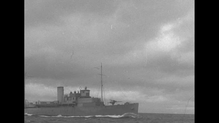
[portion of "heroes of the atlantic" production, part of the "canada carries on" series] canadian freighter sailing along / coast guard sailors... - uk coastline map stock videos & royalty-free footage02:54During World War II, Canadian Coast Guard protecting Canadian coast and Canadian Navy protecting merchant shipsAtlantic Ocean, Battle of the Atlantic, Pulling