usa animated map with divided states including hawaii and alaska. 4k - pacific islands map stock videos & royalty-free footage00:10USA animated map with divided states including Hawaii and Alaska. 4kUSA, Map, American Culture
zoom in to hawaii, us from earth. satellite view of the united states of america. cinematic world map animation from outer space to territories. the concept of usa, highlight, globe, aerial view, tourism, travel, journey, cityscape - pacific islands map stock videos & royalty-free footage00:16Zoom in to Hawaii, US from Earth. Satellite view of the United States of America. Cinematic world map animation from outer space to territories. The concept of USA, highlight, globe, aerial view, tourism, travel, journey, cityscapeBig Island - Hawaii Islands, Map, Globe - Navigational Equipment
passengers boarding pan am clipper on water crossing gangplank with words pan american airways on side, flight officers assist people down steps to... - pacific islands map stock videos & royalty-free footage01:57Map compares ocean travel with flying boat travel over PacificMap, Guam, Airplane
reporter speaking / world map showing us maritime supply lines / shot from ship of depth charges dropping from plane into ocean / charges exploding /... - pacific islands map stock videos & royalty-free footage03:29Paramount News film of World War II throughout the world features US military fighting Japanese forces and scenes of German militaryJapan, Guadalcanal Island, World War II
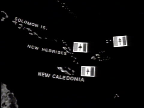
south pacific map w/ solomon islands, free french flags on territories of new hebrides & new caledonia. colonial rule. - pacific islands map stock videos & royalty-free footage00:071941: MAP: South Pacific map w/ Solomon Islands, Free French flags on Territories of New Hebrides & New Caledonia. Colonial rule.Vanuatu, Solomon Islands
south pacific islands 'singapore netherlands indies philippine is. & japan' animated arrows stemming from japan to islands. - pacific islands map stock videos & royalty-free footage00:11Map South Pacific IslandsWorld War II, South Pacific Ocean, 1942
trans-pacific commercial airplane in flight. animated map: showing air routes planned to connect new zealand & hawaii. - pacific islands map stock videos & royalty-free footage00:17Trans-Pacific airplane, flight route mapAustralia, Travel, New Zealand
united stated of america animated map in dots shape. 4k - pacific islands map stock videos & royalty-free footage00:09United Stated of America animated map in dots shape. 4kUSA, Map, American Culture
close up of vanuatu on a political world map - pacific islands map stock videos & royalty-free footage00:14Close Up of Vanuatu on a Political World Map
oceania papua new guinea on world map - pacific islands map stock videos & royalty-free footage00:14OCEANIA Papua New Guinea on World MapPapua New Guinea, Map, South Pacific Ocean
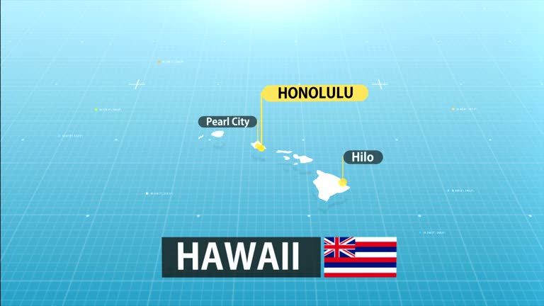
zoom in to hawaii, us from earth. satellite view of the united states of america. cinematic world map animation from outer space to territories. the concept of usa, highlight, globe, aerial view, tourism, travel, journey, cityscape - pacific islands map stock videos & royalty-free footage00:16Zoom in to Hawaii, US from Earth. Satellite view of the United States of America. Cinematic world map animation from outer space to territories. The concept of USA, highlight, globe, aerial view, tourism, travel, journey, cityscapeBig Island - Hawaii Islands, Map, Honolulu
zoom in to somalia without somaliland from earth. satellite view of the oceania. cinematic world map animation from outer space to territories. the concept of highlight the country, globe, tourism, travel, journey, aerial view of countries - pacific islands map stock videos & royalty-free footage00:16Zoom in to Somalia without Somaliland from Earth. Satellite view of the Oceania. Cinematic world map animation from outer space to territories. The concept of highlight the country, globe, tourism, travel, journey, aerial view of countriesMap, Indian Ocean, Somalia
close angle of world map or globe. shot begins on honolulu hawaii then pans right to southern california coast. camera pans down baja mexico then back to hawaii. see latitude and longitude lines on map. - pacific islands map stock videos & royalty-free footage01:14CLOSE ANGLE OF WORLD MAP OR GLOBE. SHOT BEGINS ON HONOLULU HAWAII THEN PANS RIGHT TO SOUTHERN CALIFORNIA COAST. CAMERA PANS DOWN BAJA MEXICO THEN BACK TO HAWAII. SEE LATITUDE AND LONGITUDE LINES ON MAP.Map, California, Mexico
us regions: contrasts of land and people - part 42 of 53. using both animation and live-action photography, this film enables viewers to tour a richly diverse country that can be divided into eight regions: new england, the middle atlantic, the south, the - pacific islands map stock videos & royalty-free footage00:29US Regions: Contrasts of Land and People - part 42 of 53. Using both animation and live-action photography, this film enables viewers to tour a richly diverse country that can be divided into eight regions: New England, the Middle Atlantic, the South, theMap, 1980-1989, USA
zoom in to hawaii, us from earth. satellite view of the united states of america. cinematic world map animation from outer space to territories. the concept of highlight the state, globe, tourism, travel, journey, aerial view of country, usa - pacific islands map stock videos & royalty-free footage00:16Zoom in to Hawaii, US from Earth. Satellite view of the United States of America. Cinematic world map animation from outer space to territories. The concept of highlight the state, globe, tourism, travel, journey, aerial view of country, USAMap, Big Island - Hawaii Islands, Kauai
the american flag: the story of old glory (revised edition) - part 21 of 25. a visual study of the country's flag reinforces the fact that it stands as symbol of all our country's people reviews the various american flags, beginning with the spanish flag - pacific islands map stock videos & royalty-free footage00:28The American Flag: The Story of Old Glory (revised edition) - part 21 of 25. A visual study of the country's flag reinforces the fact that it stands as symbol of all our country's people Reviews the various American flags, beginning with the Spanish flagAmerican Flag, USA, Map
zoom in to hawaii, us from earth. satellite view of the united states of america. cinematic world map animation from outer space to territories. the concept of usa, highlight, globe, aerial view, tourism, travel, journey, cityscape - pacific islands map stock videos & royalty-free footage00:16Zoom in to Hawaii, US from Earth. Satellite view of the United States of America. Cinematic world map animation from outer space to territories. The concept of USA, highlight, globe, aerial view, tourism, travel, journey, cityscapeBig Island - Hawaii Islands, Map, Aerial View
hawaii state map - pacific islands map stock videos & royalty-free footage00:20Hawaii State MapMap, Honolulu
search map on smart phone - pacific islands map stock videos & royalty-free footage00:15Search map on smart phoneMap, Speech
zoom in to somalia from earth. satellite view of the oceania. cinematic world map animation from outer space to territories. the concept of highlight the country, globe, tourism, travel, journey, aerial view of countries - pacific islands map stock videos & royalty-free footage00:16Zoom in to Somalia from Earth. Satellite view of the Oceania. Cinematic world map animation from outer space to territories. The concept of highlight the country, globe, tourism, travel, journey, aerial view of countriesSomalia, Map, Somaliland
[from esso marketing film "rubber goes synthetic"] animated map showing philippine islands, borneo, celebes , java, sumatra, malaya, thailand, french... - pacific islands map stock videos & royalty-free footage00:54Esso marketing film showing map of Southeast Asia; USA map with statisticsMap, World War II, Indochina
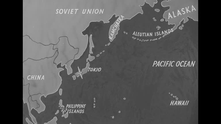
"where is shangri-la" superimposed over drawing of island in ocean / map of soviet union, china, philippine islands, aleutian islands and japan,... - pacific islands map stock videos & royalty-free footage00:25Animated map showing possible routes of attack on Tokyo by US bombers during World War IIJapan, World War II, Map
zoom in to papua new guinea from earth. satellite view of the melanesia. cinematic world map animation from outer space to territories. the concept of highlight the country, globe, tourism, travel, journey, aerial view of countries - pacific islands map stock videos & royalty-free footage00:16Zoom in to Papua New Guinea from Earth. Satellite view of the Melanesia. Cinematic world map animation from outer space to territories. The concept of highlight the country, globe, tourism, travel, journey, aerial view of countriesPapua New Guinea, Map
zoom in to hawaii, us from earth. satellite view of the united states of america. cinematic world map animation from outer space to territories. the concept of usa, highlight, globe, aerial view, tourism, travel, journey, cityscape - pacific islands map stock videos & royalty-free footage00:16Zoom in to Hawaii, US from Earth. Satellite view of the United States of America. Cinematic world map animation from outer space to territories. The concept of USA, highlight, globe, aerial view, tourism, travel, journey, cityscapeBig Island - Hawaii Islands, Map, Globe - Navigational Equipment
globe w/ 'australia' superimposed & highlighted. 'new zealand' superimposed & highlighted on map. - pacific islands map stock videos & royalty-free footage00:151951: MAP: Globe w/ 'Australia' superimposed & highlighted. 'New Zealand' superimposed & highlighted on map.1950-1959, Australia, Map
zoom in to nauru from earth. satellite view of the oceania. cinematic world map animation from outer space to territories. the concept of highlight the country, globe, tourism, travel, journey, aerial view of countries - pacific islands map stock videos & royalty-free footage00:16Zoom in to Nauru from Earth. Satellite view of the Oceania. Cinematic world map animation from outer space to territories. The concept of highlight the country, globe, tourism, travel, journey, aerial view of countriesMap
zoom in on monochrome map of samoa, 4k, high quality, dark theme, simple world map, monochrome style, night, highlighted country and cities, satellite and aerial view of provinces, state, city, - pacific islands map stock videos & royalty-free footage00:12Zoom in on monochrome map of Samoa, 4K, high quality, dark theme, simple world map, monochrome style, night, highlighted country and cities, satellite and aerial view of provinces, state, city,Samoa, Map
us regions: contrasts of land and people - part 47 of 53. using both animation and live-action photography, this film enables viewers to tour a richly diverse country that can be divided into eight regions: new england, the middle atlantic, the south, the - pacific islands map stock videos & royalty-free footage00:31US Regions: Contrasts of Land and People - part 47 of 53. Using both animation and live-action photography, this film enables viewers to tour a richly diverse country that can be divided into eight regions: New England, the Middle Atlantic, the South, theMap, Commercial Airplane, Airplane
guam map zoom - pacific islands map stock videos & royalty-free footage00:08Guam map zoomMap, Sea, Guam
1959 hawaii transportation and harbor - pacific islands map stock videos & royalty-free footage01:371959 Hawaii transportation and harborMap
zoom in to nauru from earth. satellite view of the oceania. cinematic world map animation from outer space to territories. the concept of highlight the country, globe, tourism, travel, journey, aerial view of countries - pacific islands map stock videos & royalty-free footage00:16Zoom in to Nauru from Earth. Satellite view of the Oceania. Cinematic world map animation from outer space to territories. The concept of highlight the country, globe, tourism, travel, journey, aerial view of countriesMap
zoom in to somalia without somaliland from earth. satellite view of the oceania. cinematic world map animation from outer space to territories. the concept of highlight the country, globe, tourism, travel, journey, aerial view of countries - pacific islands map stock videos & royalty-free footage00:16Zoom in to Somalia without Somaliland from Earth. Satellite view of the Oceania. Cinematic world map animation from outer space to territories. The concept of highlight the country, globe, tourism, travel, journey, aerial view of countriesIndian Ocean, Somalia, Map
marshall islands - zoom on world map. animated shape vector map of the marshall islands. 4k video footage. motion graphics - pacific islands map stock videos & royalty-free footage00:08Marshall Islands - Zoom on World Map. Animated Shape Vector Map of the Marshall Islands. 4K Video Footage. Motion GraphicsMap
cooperation between palau and china in front of world map. the concept of chinese, handshake, business agreement, politics, meeting, country flags, international friendship relations, diplomats shaking hands, businessman, peace trade policy - pacific islands map stock videos & royalty-free footage00:08Cooperation between Palau and China in front of world map. The concept of Chinese, handshake, business agreement, politics, meeting, country flags, international friendship relations, diplomats shaking hands, businessman, peace trade policyPalau, Map
zoom in on monochrome map of palau, 4k, high quality, dark theme, simple world map, monochrome style, night, highlighted country and cities, satellite and aerial view of provinces, state, city, - pacific islands map stock videos & royalty-free footage00:12Zoom in on monochrome map of Palau, 4K, high quality, dark theme, simple world map, monochrome style, night, highlighted country and cities, satellite and aerial view of provinces, state, city,Palau, Map
hawaii - the 50th state - part 4 of 29. presents an overview of hawaii and a brief history of the volcanic formation. reviews the history of early polynesian settlement and the influence of diverse cultures on the present way of life in hawaii - pacific islands map stock videos & royalty-free footage00:33Hawaii - The 50th State - part 4 of 29. Presents an overview of Hawaii and a brief history of the volcanic formation. Reviews the history of early Polynesian settlement and the influence of diverse cultures on the present way of life in Hawaii1950-1959, Archival, Direction
highlighted fiji map, zooming in from the space through a 4k photo real animated globe, with a panoramic view consisting of africa, west europe and usa. epic spinning world animation, realistic planet earth, highlight, satellite, aerial - pacific islands map stock videos & royalty-free footage00:16Highlighted Fiji map, zooming in from the space through a 4K photo real animated globe, with a panoramic view consisting of Africa, West Europe and USA. Epic spinning world animation, Realistic planet earth, highlight, satellite, aerialFiji, Map
solomon islands map zoom - pacific islands map stock videos & royalty-free footage00:08Solomon Islands map zoomSolomon Islands, Map
american samoa map zoom - pacific islands map stock videos & royalty-free footage00:08American Samoa map zoomMap, American Samoa
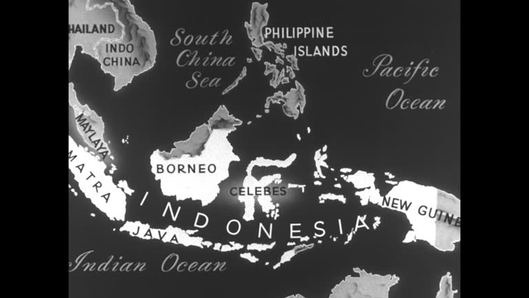
animated map islands surrounded by south china sea, pacific and indian oceans including indo china, malaya, new guinea, philippines, borneo and... - pacific islands map stock videos & royalty-free footage01:06Animated map of Indonesia and surrounding areasMap, Philippines, Indonesia
australia & coral sea w/ two highlighted arrows pointing from pacific ocean to australia coast. map passing midway w/ arrows pointing toward aleutian... - pacific islands map stock videos & royalty-free footage00:12Map Australia and Aleutian islesMap, Australia, USA
south pacific map w/ solomon islands, free french flags on territories of new hebrides & new caledonia. colonial rule. - pacific islands map stock videos & royalty-free footage00:061941: MAP: South Pacific map w/ Solomon Islands, Free French flags on Territories of New Hebrides & New Caledonia. Colonial rule.New Caledonia, World War II, Solomon Islands
night bombardment in action japanese held islands / map of solomon islands, new guinea, guadalcanal, australia, nassau bay / transporter ship at sea... - pacific islands map stock videos & royalty-free footage02:29Solomon Island OffensiveGuadalcanal Island, Ship, Night
graphic tally of american and japanese ships lost / american destroyers at sea, firing / map of new guinea, australia, solomon islands, with arrows... - pacific islands map stock videos & royalty-free footage01:47Sea Victory For Allies At Solomon IslandsGuadalcanal Island, Papua New Guinea, World War II
1950 flying to hawaii - pacific islands map stock videos & royalty-free footage01:011950 Flying to HawaiiAirplane, Passenger, 1950-1959
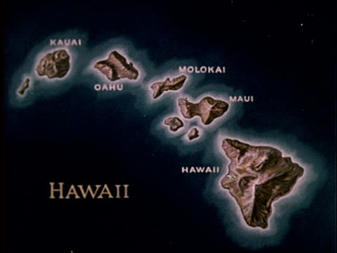
1959 map of hawaii - pacific islands map stock videos & royalty-free footage01:581959 Map of HawaiiMap
4k, digital glitch intro world map with united states - pacific islands map stock videos & royalty-free footage00:124K, Digital Glitch Intro World Map with United StatesMap, Outline, Direction
solomon islands - zoom on world map. animated vector map of the solomon islands. 4k video footage. motion graphics - pacific islands map stock videos & royalty-free footage00:08Solomon Islands - Zoom on World Map. Animated Vector Map of the Solomon Islands. 4K Video Footage. Motion GraphicsMap
vanuatu - zoom on world map. animated vector map of the vanuatu. 4k video footage. motion graphics - pacific islands map stock videos & royalty-free footage00:08Vanuatu - Zoom on World Map. Animated Vector Map of the Vanuatu. 4K Video Footage. Motion GraphicsMap
old map showing position of rapa nui . views of rocky coastline and barren landscapes. - pacific islands map stock videos & royalty-free footage00:51THE Mystery of Easter Island, part 1 of 19Rapa Nui, Map, Archaeology
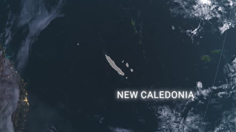
new caledonia map with new caledonia flag, zooming in from the space through a photo real animated globe, with a panoramic view consisting of of asia and australia. realistic 4k epic spinning world animation, planet earth half day and night rotating, - pacific islands map stock videos & royalty-free footage00:16New Caledonia map with New Caledonia flag, zooming in from the space through a photo real animated globe, with a panoramic view consisting of of Asia and Australia. Realistic 4K epic spinning world animation, Planet Earth half day and night rotating,New Caledonia, Map
world war ii / japanese flag on ship of japanese navy / japanese air force in flight / sailors watch planes in air / ships at sea / aerials japanese... - pacific islands map stock videos & royalty-free footage02:53World War II: Japanese targetsWorld War II, Pearl Harbor Attack, Singapore
man kneeling on map / hands moving colored strings / placing target marker - pacific islands map stock videos & royalty-free footage00:191945 CU Man plots plan of attack on map / GuamGuam, Map
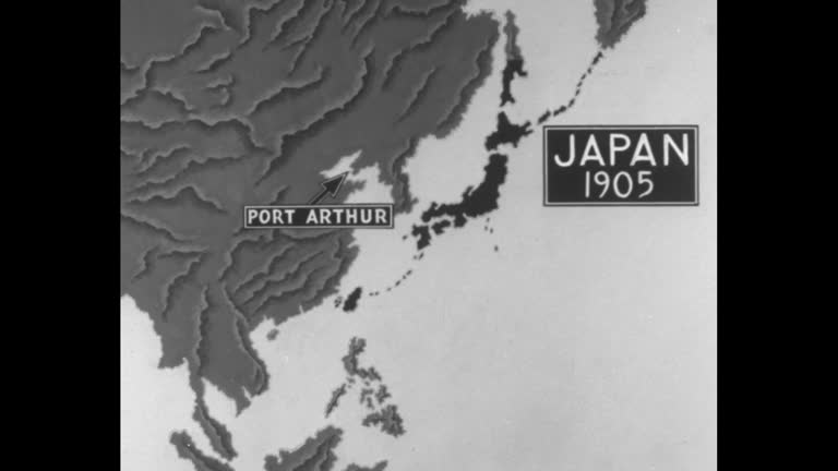
animated map of japan, eastern asia, western pacific rim and west pacific ocean showing successive countries, cities and islands occupied by japan... - pacific islands map stock videos & royalty-free footage01:22Animated map produced in US showing advance of Japanese empire up through 1934Japan, Map, Pacific Ocean
flying around the waves of the coastline of kailua-kona bay, hawaii, usa - pacific islands map stock videos & royalty-free footage00:18Flying around the waves of the coastline of Kailua-Kona Bay, Hawaii, USAAerial View, Big Island - Hawaii Islands, Lagoon
animated map shows pacific islands conquered by united states / united states navy ships at sea / night: flares from artillery shells in jungle /... - pacific islands map stock videos & royalty-free footage00:45United States defeats Japan in the 2nd Battle of the Philippine Sea (the Battle of Leyte Gulf) during World War IILeyte Island, Night, Japan
"philippines sea battles first pictures" / world war ii / pacific theater / ships at sea, destroyers, battleships, and aircraft carriers / sailors... - pacific islands map stock videos & royalty-free footage01:03World War II: Battle of Leyte Gulf in the PhilippinesSea, Philippines, Map
usa map by states (2 of 8) de, fl, ga, hi, id, il, in. loopable. - pacific islands map stock videos & royalty-free footage01:02USA map by states (2 of 8) DE, FL, GA, HI, ID, IL, IN. Loopable.USA, Map
australia. map: south pacific islands japan australia & new zealand. - pacific islands map stock videos & royalty-free footage00:09Map Australia New ZealandWorld War II
battle of munda point in the pacific / map of new guinea, new britain, new ireland, australia, solomon islands / montage of allied soldiers unloading... - pacific islands map stock videos & royalty-free footage00:29Battle For Munda Point In The PacificMap, Papua New Guinea, Marching
zoom in to papua new guinea from earth. satellite view of the melanesia. cinematic world map animation from outer space to territories. the concept of highlight the country, globe, tourism, travel, journey, aerial view of countries - pacific islands map stock videos & royalty-free footage00:16Zoom in to Papua New Guinea from Earth. Satellite view of the Melanesia. Cinematic world map animation from outer space to territories. The concept of highlight the country, globe, tourism, travel, journey, aerial view of countriesMap, Papua New Guinea, Pacific Ocean
map of hawaii islands united states america usa, 3d animation - pacific islands map stock videos & royalty-free footage00:16Map of HAWAII ISLANDS United States America USA, 3D AnimationBig Island - Hawaii Islands, Map
honolulu, hawaii june 1970: detailed map of pacific operations, 1942-1945, charting key wwii battles and strategic movements. - pacific islands map stock videos & royalty-free footage00:28Hawaii 1970, Pacific War Operations Map
zoom in on monochrome map of palau, 4k, high quality, dark theme, simple world map, monochrome style, night, highlighted country and cities, satellite and aerial view of provinces, state, city, - pacific islands map stock videos & royalty-free footage00:12Zoom in on monochrome map of Palau, 4K, high quality, dark theme, simple world map, monochrome style, night, highlighted country and cities, satellite and aerial view of provinces, state, city,Palau, Map
us regions: contrasts of land and people - part 41 of 53. using both animation and live-action photography, this film enables viewers to tour a richly diverse country that can be divided into eight regions: new england, the middle atlantic, the south, the - pacific islands map stock videos & royalty-free footage00:32US Regions: Contrasts of Land and People - part 41 of 53. Using both animation and live-action photography, this film enables viewers to tour a richly diverse country that can be divided into eight regions: New England, the Middle Atlantic, the South, the1980-1989, Snow, Town
lines and arrows appear on map of the pacific ocean. naval artillery fires at island. personnel boats drop soldiers off on beach - pacific islands map stock videos & royalty-free footage00:29Second World War - Allied Victory - part 15 of 51. Film reviews key events from early 1944 to the surrender of Japan in 1945. Also explains how total mobilization of manpower and resources was achieved - and how strategic coordination of fighting forcesWorld War II, Allied Forces, Pacific Ocean
hawaii - the 50th state - part 5 of 29. presents an overview of hawaii and a brief history of the volcanic formation. reviews the history of early polynesian settlement and the influence of diverse cultures on the present way of life in hawaii - pacific islands map stock videos & royalty-free footage00:34Hawaii - The 50th State - part 5 of 29. Presents an overview of Hawaii and a brief history of the volcanic formation. Reviews the history of early Polynesian settlement and the influence of diverse cultures on the present way of life in Hawaii1950-1959, Map
"earhart conquers pacific" / pilot amelia earhart standing next to plane being asked question by reporter / earhart taking off from wheeler army... - pacific islands map stock videos & royalty-free footage01:50Amelia Earhart flies solo from Honolulu, HI, to Oakland, CAAmelia Earhart - Aviator, Map, California
map showing the locations of the united states, north korea and guam as rhetoric between the two nuclear powers steps up. - pacific islands map stock videos & royalty-free footage00:25North Korea considering attack on Guam - Map
"eniwetok atom bomb explosions!" superimposed over atom bomb explosion / title card: "top-secret until now, these films remind the world of its... - pacific islands map stock videos & royalty-free footage01:17Preparations for US atomic bomb tests on Eniwetok Atoll in Marshall IslandsNight, Eniwetok, Robot
pacific strategy conference july 26, 1944 pearl harbor, hawaii: presidential flag flies from ship mast / united states navy sailors salute as... - pacific islands map stock videos & royalty-free footage00:44Franklin Roosevelt at Yalta, Pearl Harbor, Quebec conferencesWorld War II, Franklin Roosevelt, Yalta Conference
zoom in to somalia without somaliland from earth. satellite view of the oceania. cinematic world map animation from outer space to territories. the concept of highlight the country, globe, tourism, travel, journey, aerial view of countries - pacific islands map stock videos & royalty-free footage00:16Zoom in to Somalia without Somaliland from Earth. Satellite view of the Oceania. Cinematic world map animation from outer space to territories. The concept of highlight the country, globe, tourism, travel, journey, aerial view of countriesSomalia, Map, Indian Ocean
zoom in to somalia without somaliland from earth. satellite view of the oceania. cinematic world map animation from outer space to territories. the concept of highlight the country, globe, tourism, travel, journey, aerial view of countries - pacific islands map stock videos & royalty-free footage00:16Zoom in to Somalia without Somaliland from Earth. Satellite view of the Oceania. Cinematic world map animation from outer space to territories. The concept of highlight the country, globe, tourism, travel, journey, aerial view of countriesSomalia, Map, Indian Ocean
zoom in from satellite view of earth to palau's water systems. available in hd. - pacific islands map stock videos & royalty-free footage00:08Zoom in from satellite view of Earth to Palau's water systems. Available in HD.Map, Pacific Ocean
zoom in on monochrome map of fiji, 4k, high quality, dark theme, simple world map, monochrome style, night, highlighted country and cities, satellite and aerial view of provinces, state, city, town - pacific islands map stock videos & royalty-free footage00:12Zoom in on monochrome map of Fiji, 4K, high quality, dark theme, simple world map, monochrome style, night, highlighted country and cities, satellite and aerial view of provinces, state, city, townFiji, Blank, Map
highlighted dark map of fiji, zooming in from the space through a 4k photo real animated globe, with a panoramic view consisting of africa, north and south america. epic spinning world animation, realistic planet earth, highlight, satellite, aerial - pacific islands map stock videos & royalty-free footage00:16Highlighted dark map of Fiji, zooming in from the space through a 4K photo real animated globe, with a panoramic view consisting of Africa, North and South America. Epic spinning world animation, Realistic planet earth, highlight, satellite, aerialFiji, Map
new caledonia map highlighted with border and country name, zooming in from the space through a 4k photo real animated globe, with a panoramic view consisting of asia, eurasia and africa. realistic epic spinning world animation, planet earth, highlight, - pacific islands map stock videos & royalty-free footage00:16New Caledonia map highlighted with border and country name, zooming in from the space through a 4K photo real animated globe, with a panoramic view consisting of Asia, Eurasia and Africa. Realistic epic spinning world animation, Planet Earth, highlight,New Caledonia, Map