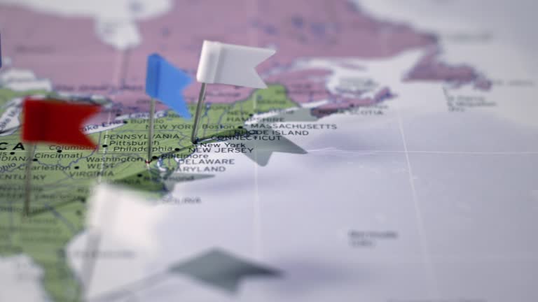
colorado from usa states - denver colorado map stock videos & royalty-free footage00:14Colorado from USA StatesMap, Colorado, Denver
colorado from usa states - denver colorado map stock videos & royalty-free footage00:13Colorado from USA StatesColorado, Map, Denver
colorado from usa states - denver colorado map stock videos & royalty-free footage00:13Colorado from USA StatesColorado, Map
zoom in to denver, colorado, united states from earth. satellite view of the usa. cinematic world map animation from outer space to territories. the concept of highlight the cities, globe, tourism, travel, aerial view of country - denver colorado map stock videos & royalty-free footage00:16Zoom in to Denver, Colorado, United States from Earth. Satellite view of the USA. Cinematic world map animation from outer space to territories. The concept of highlight the cities, globe, tourism, travel, aerial view of countryColorado, Map
zoom in to denver, colorado, united states from earth. satellite view of the usa. cinematic world map animation from outer space to territories. the concept of highlight the cities, globe, tourism, travel, aerial view of country - denver colorado map stock videos & royalty-free footage00:16Zoom in to Denver, Colorado, United States from Earth. Satellite view of the USA. Cinematic world map animation from outer space to territories. The concept of highlight the cities, globe, tourism, travel, aerial view of countryColorado, Map, City
zoom in to denver, colorado, united states from earth. satellite view of the usa. cinematic world map animation from outer space to territories. the concept of highlight the cities, globe, tourism, travel, aerial view of country - denver colorado map stock videos & royalty-free footage00:16Zoom in to Denver, Colorado, United States from Earth. Satellite view of the USA. Cinematic world map animation from outer space to territories. The concept of highlight the cities, globe, tourism, travel, aerial view of countryColorado, Map
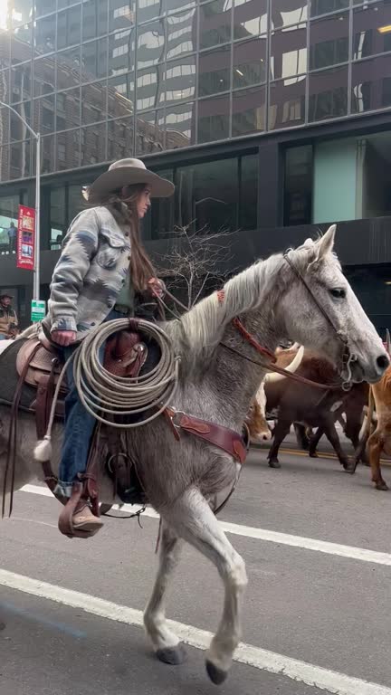
wranglers kept dozens of longhorns in line as they paraded through downtown denver, colorado, on january 4, ahead of the 118th... - denver colorado map stock videos & royalty-free footage01:04'Peak Happiness' as Longhorns and Wranglers Parade Through Downtown DenverDenver, Texas Longhorn Cattle
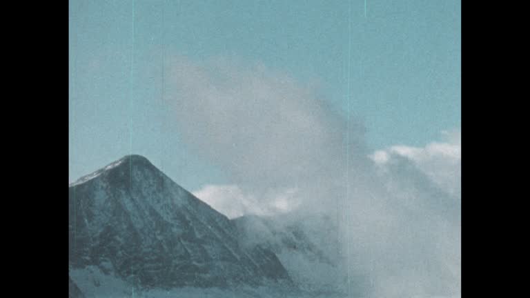
us regions: contrasts of land and people - part 41 of 53. using both animation and live-action photography, this film enables viewers to tour a richly diverse country that can be divided into eight regions: new england, the middle atlantic, the south, the - denver colorado map stock videos & royalty-free footage00:32US Regions: Contrasts of Land and People - part 41 of 53. Using both animation and live-action photography, this film enables viewers to tour a richly diverse country that can be divided into eight regions: New England, the Middle Atlantic, the South, the1980-1989, Snow, Town
global maps emblazon modern glass skyscrapers as clouds churn overhead. - denver colorado map stock videos & royalty-free footage00:29Global maps emblazon modern glass skyscrapers as clouds churn overhead.
colorado landscape / montage of troops standing in formation on at lowry airfield, on the wings of a large airplane, bombers flying in formation,... - denver colorado map stock videos & royalty-free footage01:55Troops Stationed In Colorado Receive GiftsMajor League Baseball, 1944
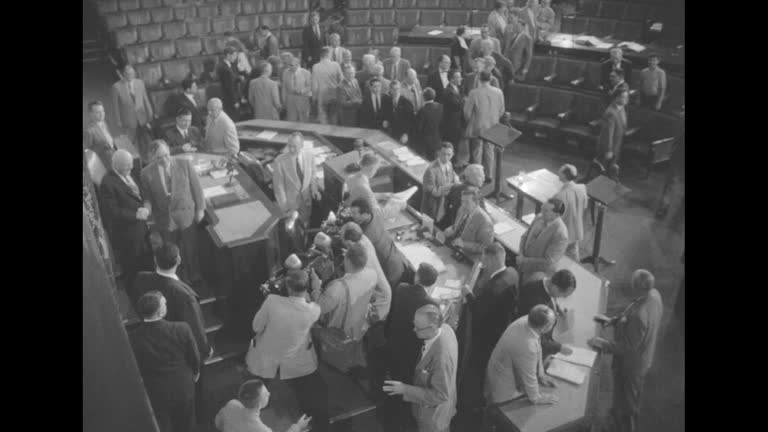
news" superimposed over map of the united states / title card: "83rd congress adjourns -- ike on vacation" superimposed over ext us capitol, framed... - denver colorado map stock videos & royalty-free footage00:5283rd US Congress adjourns and President Dwight Eisenhower leaves for vacation in 1954Lyndon Johnson, Signing, 1950-1959
woman using smartphone navigation app while hiking at red rocks park colorado - denver colorado map stock videos & royalty-free footage00:28Woman Using Smartphone Navigation App While Hiking at Red Rocks Park Colorado
zoom in to denver, colorado, united states from earth. satellite view of the usa. cinematic world map animation from outer space to territories. the concept of highlight the cities, globe, tourism, travel, aerial view of country - denver colorado map stock videos & royalty-free footage00:16Zoom in to Denver, Colorado, United States from Earth. Satellite view of the USA. Cinematic world map animation from outer space to territories. The concept of highlight the cities, globe, tourism, travel, aerial view of country
//www.denver7.com/weather/weather-news/rare-tornado-touches-down-near-westcliffe-in-custer-county rare high-elevation tornado touched down in... - denver colorado map stock videos & royalty-free footage00:30Rare Tornado Rips Through Colorado Mountain TownTornado
fluffy mammatus clouds were seen drooping from the sky over berthoud, colorado, on sunday, june 15, as the... - denver colorado map stock videos & royalty-free footage01:17Fluffy Mammatus Clouds Droop From Sky Above Northern Colorado
huge tornado was spotted on the ground near bennett, colorado, east of denver, on sunday, may 18. video filmed by david levesque, owner of launch pad... - denver colorado map stock videos & royalty-free footage00:10Colossal Tornado Looms East of Denver
passengers onboard american airlines flight 1006 were evacuated at denver international airport after the aircraft caught fire on thursday, march 13.... - denver colorado map stock videos & royalty-free footage00:30Smoke Billows at Denver International Airport as American Airlines Plane Catches FireAirplane
pogo professional tone staubs, @xpogotone, showed off his sticking skills across new mexico and colorado, video shows. in videos filmed in 2021 and... - denver colorado map stock videos & royalty-free footage00:57Pogo Pro Uses Public Places to Pull Off Sick Rail GrindsUSA, The Americas, Humor
zoom in to colorado, us from earth. satellite view of the united states of america. cinematic world map animation from outer space to territories. the concept of highlight the state, globe, tourism, travel, journey, aerial view of country, usa - denver colorado map stock videos & royalty-free footage00:16Zoom in to Colorado, US from Earth. Satellite view of the United States of America. Cinematic world map animation from outer space to territories. The concept of highlight the state, globe, tourism, travel, journey, aerial view of country, USA
the national weather service https://twitter.com/nwsboulder/status/1672028263085113345 said it was surveying damage in south denver, colorado, to... - denver colorado map stock videos & royalty-free footage01:18'Just Carnage': Downed Trees and Traffic Lights as Storms Pound South Denver
supercell formed in the denver metro area on june 22 before a https://twitter.com/nwsboulder/status/1672067084489211904?s=20 confirmed tornado... - denver colorado map stock videos & royalty-free footage02:49Supercell Forms Near Denver Ahead of Damaging Tornado
border collie made the most of a snowy winter day in denver, colorado, on tuesday, november 15, bouncing around a trampoline covered in snow, as seen... - denver colorado map stock videos & royalty-free footage01:03Energetic Dog Bounces on Snow-Covered Trampoline in Denver
el paso county sheriff terry maketa speaks in a press conference about firefighting efforts at the black forest fire which he says may have destroyed... - denver colorado map stock videos & royalty-free footage03:43Black Forest Fire press conference
medium zoom-in - earth's atmosphere partially veils geographic features in a computer-generated map. / denver, colorado, usa - denver colorado map stock videos & royalty-free footage00:22Medium zoom-in - Earth's atmosphere partially veils geographic features in a computer-generated map. / Denver, Colorado, USAZoom In, Stratosphere, USA
northwestern states (2nd edition) - part 5 of 19. represents the northwestern states as the "breadbasket of the nation" and stresses the importance of their agricultural and mineral resources. animated maps illustrate the region's geographical characteris - denver colorado map stock videos & royalty-free footage00:33Northwestern States (2nd edition) - part 5 of 19. Represents the Northwestern States as the "breadbasket of the nation" and stresses the importance of their agricultural and mineral resources. Animated maps illustrate the region's geographical characterisKansas, 1950-1959
"big flood plan announced - president views stricken areas" / pres. dwight eisenhower at night walking towards air force one at lowry air force base... - denver colorado map stock videos & royalty-free footage00:53President Dwight Eisenhower surveys by plane flood-stricken areas in Northeast region of US and then meets with governors in Hartford, CT
statue of alexander hamilton outside the treasury department in washington dc / ext federal hall on wall street with statue of george washington in... - denver colorado map stock videos & royalty-free footage01:20US plans to move gold to Denver and Fort Knox with VS US Treasury, Sub Treasury, US Mint, aerials of Fort KnoxFort Knox, Kentucky, Ingot
"farmers battle drought!" / wheat field affected by drought / three men standing in field talking / secretary of agriculture henry a. wallace shaking... - denver colorado map stock videos & royalty-free footage00:46Farmers near Denver battling droughtFarm, Child, Cow
colorado state map - denver colorado map stock videos & royalty-free footage00:20Colorado State MapMap
colorado from usa states - denver colorado map stock videos & royalty-free footage00:13Colorado from USA States
colorado from usa states - denver colorado map stock videos & royalty-free footage00:13Colorado from USA States