washington dc city vector road map blue text - dc map stock illustrationsWashington DC City Vector Road Map Blue TextWashington DC, Map, Road Map
district of columbia area map - dc map stock illustrationsDistrict of Columbia Area MapWashington DC, Map, Vector
district of columbia map - flat icons on different color buttons - dc map stock illustrationsDistrict of Columbia map - Flat icons on different color buttonsWashington DC, Map, Vector
washington, district of columbia vector map - dc map stock illustrationsWashington, District of Columbia Vector MapWashington DC, Map, Vector
isometric washington dc - dc map stock illustrationsIsometric Washington DCWashington DC, Map, Vector
district of columbia maps for design. easily editable - dc map stock illustrationsDistrict of Columbia maps for design. Easily editableWashington DC, Map, Vector
washington, district of columbia vector map - dc map stock illustrationsWashington, District of Columbia Vector MapWashington DC, Map, Vector
washington d.c. us city street map - dc map stock illustrationsWashington D.C. US City Street MapWashington DC, Map, Road Map
arlington, virginia, usa vector map - dc map stock illustrationsArlington, Virginia, USA Vector MapMap, Washington DC, Backgrounds
district of columbia. map on blue and red background - dc map stock illustrationsDistrict of Columbia. Map on blue and red backgroundWashington DC, Map
usa - detailed map with regions, cities, country flag and infographic icons. - dc map stock illustrationsUSA - Detailed map with regions, cities, country flag and infographic icons.Map, Washington DC
washington dc vector map - dc map stock illustrationsWashington DC Vector MapWashington DC, Map, Vector
district of columbia maps for design - blank, white, black backgrounds - dc map stock illustrationsDistrict of Columbia maps for design - Blank, white, black backgroundsWashington DC, Map, Abstract
usa map with divided states on a transparent background - dc map stock illustrationsUSA Map With Divided States On A Transparent BackgroundMap, Vector
flat white and beige city street map of washington dc usa on modern creative background - dc map stock illustrationsFlat White and Beige City Street Map of Washington DC USA on Modern Creative BackgroundWashington DC, Map, City
district of columbia map, blue background, long shadow, flat design - dc map stock illustrationsDistrict of Columbia Map, Blue Background, Long Shadow, Flat DesignWashington DC, Map, Vector
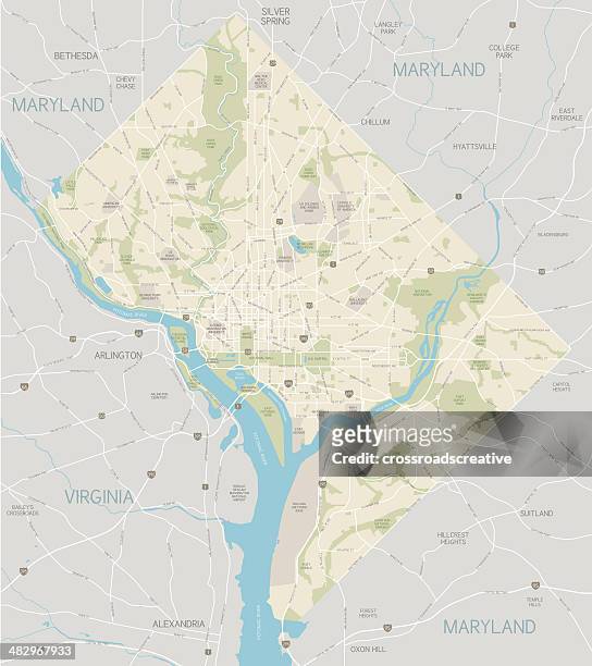
washington, dc area map - dc map stock illustrationsWashington, DC area mapWashington DC, Map, Vector
map of the united states with state names and geographic boundaries. - dc map stock illustrationsMap of the United States with state names and geographic boundaries.Map, Vector, Washington DC
alexandria va city vector road map blue horizontal - dc map stock illustrationsAlexandria VA City Vector Road Map Blue HorizontalMap, Washington DC
vector washington dc, usa map in beachy colors - dc map stock illustrationsVector Washington DC, USA Map in Beachy ColorsWashington DC, Map
washington dc metro area map inset - dc map stock illustrationsWashington DC metro area map insetWashington DC, Map, Chesapeake Bay
district of columbia map - white paper cut out on blue background - dc map stock illustrationsDistrict of Columbia map - White paper cut out on blue backgroundMap, Washington DC
us states vector illustration scalable at any size - dc map stock illustrationsUS States Vector Illustration Scalable at Any SizeMap, Washington DC, Vector
vector usa colors map with borders of states and shorts name of each states stock illustration usa, colorado, california, michigan, illinois - dc map stock illustrationsVector USA colors map with borders of states and shorts name of each states stock illustration USA, Colorado, California, Michigan, IllinoisMap, Vector, Washington DC
district of columbia - blue sticker and stamp - map and name - dc map stock illustrationsDistrict of Columbia - Blue sticker and stamp - Map and nameWashington DC, Map
district of columbia us state road map - dc map stock illustrationsDistrict Of Columbia US State Road MapWashington DC, Map, Vector
kansas city, missouri usa vector map - dc map stock illustrationsKansas City, Missouri USA Vector MapMap, Topography, Backgrounds
md prince george's county vector map green - dc map stock illustrationsMD Prince George's County Vector Map GreenMap, Washington DC, Chesapeake Bay
washington dc vector map - dc map stock illustrationsWashington DC Vector MapMap, Portland - Maine, Capitol Building - Washington DC
usa map isolated on white background including hawaii and alaska with short name abbreviation for each state. - dc map stock illustrationsUSA map isolated on white background including Hawaii and Alaska with short name abbreviation for each state.Map, Vector
arlington, virginia, usa vector map - dc map stock illustrationsArlington, Virginia, USA Vector MapMap, Washington DC, Road Map
washington, district of columbia vector map - dc map stock illustrationsWashington, District of Columbia Vector MapWashington DC, Map
usa colorful map with state names. vector - dc map stock illustrationsUSA colorful map with state names. Vector
usa vector map with navigational icons - dc map stock illustrationsUSA Vector Map with Navigational IconsMap, Vector, Texas
map of the united states in outline on a transparent background. - dc map stock illustrationsMap of the United States in outline on a transparent background.Map, Vector
famous buildings in washington dc, usa - dc map stock illustrationsFamous buildings in Washington DC, USAWashington DC, Map
washington dc area vector map - dc map stock illustrationsWashington DC Area Vector MapMap, Washington DC, Vector
map of united states - vector illustration - dc map stock illustrationsMap of United States - Vector illustrationMap, Vector, North America
usa colorful detailed map with divided states including hawaii and alaska. separate layer for each state. vector - dc map stock illustrationsUSA colorful detailed map with divided states including Hawaii and Alaska. Separate layer for each state. VectorMap
usa map with pins - highly detailed - dc map stock illustrationsUSA Map With Pins - Highly DetailedMap, Missouri, Washington DC
district of columbia map of blue dots on white background - dc map stock illustrationsDistrict of Columbia map of blue dots on white backgroundWashington DC, Map, Vector
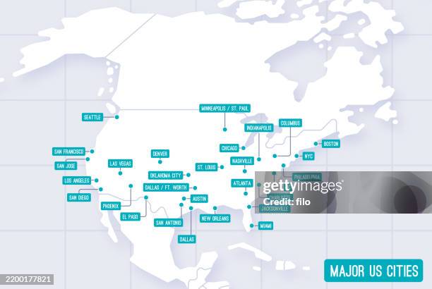
major united states cities labels - dc map stock illustrationsMajor United States Cities LabelsMap, City
usa map with particles connection - dc map stock illustrationsUSA map with particles connectionMap, Connection, Technology
usa - detailed map with regions and cities. set of flags, globe, country outline, country location on world map. - dc map stock illustrationsUSA - Detailed Map with Regions and Cities. Set of Flags, Globe, Country Outline, Country Location on World Map.Map, World Map, Vector
usa map hand drawn on white background - trendy design - dc map stock illustrationsUSA map hand drawn on white background - Trendy designMap
usa map with particles connection - dc map stock illustrationsUSA map with particles connectionMap, Vector, Abstract
vector usa administrative map isolated - dc map stock illustrationsVector USA Administrative Map isolatedMap, Vector
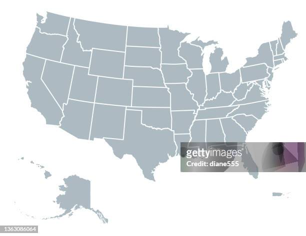
gray united states map with state borders on white background - dc map stock illustrationsGray United States Map with State Borders on White BackgroundMap
usa map isolated on white background. detailed map with divided states including hawaii and alaska. vector - dc map stock illustrationsUSA map isolated on white background. Detailed map with divided states including Hawaii and Alaska. VectorMap, Washington DC
vector folded american map with administrative district isolated - dc map stock illustrationsVector Folded American map with administrative district isolatedMap
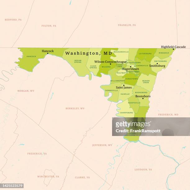
md washington county vector map green - dc map stock illustrationsMD Washington County Vector Map GreenMap, Washington DC, Vector
usa map made of stickman figure with patriotic colors - dc map stock illustrationsUSA Map Made of Stickman Figure with Patriotic ColorsMap, Voting, People