New World Map Stock Photos
Browse 1,458 authentic new world map stock photos, high-res images, and pictures, or explore additional christopher columbus map or columbus map stock images to find the right photo at the right size and resolution for your project.
- Photos
- Illustrations
Related searches:

Related searches:
of25NEXT


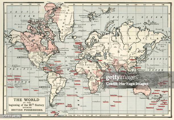
![The World at the Beginning of the 20th Century Showing British Possessions' [in pink], circa 1900. From "Cassell's History of England, Vol. IX"....](https://media.gettyimages.com/id/1511734190/photo/the-world-at-the-beginning-of-the-20th-century-showing-british-possessions-in-pink-circa.jpg?s=612x612&w=gi&k=20&c=2oAJri8r_aQz5g_w7ovMJaVZ-27gmiJHwBdUSVB420U=)


![Map of New England, 1677. Self-proclaimed as the first map ever printed in America. 'Being the first that ever was here cut [ie engraved], and done...](https://media.gettyimages.com/id/2226539482/photo/map-of-new-england-1677-self-proclaimed-as-the-first-map-ever-printed-in-america-being-the.jpg?s=612x612&w=gi&k=20&c=qw7g9yNbs_pIHYZ3iwKE5bEXhdIHScAP26kN8C7oYOU=)


![Map of New South Wales and Victoria, 1902. With inset of Melbourne. From The Century Atlas of the World. [John Walker & Co, Ltd., London, 1902]....](https://media.gettyimages.com/id/1055147114/photo/map-of-new-south-wales-and-victoria-1902-with-inset-of-melbourne-from-the-century-atlas-of.jpg?s=612x612&w=gi&k=20&c=xiVtrF9RjwF2epfiCI39zQpJ2Bk1QvSem9O6KW_QjT8=)


![Map of New Zealand, 1902. With insets of Tasmania and Auckland. From The Century Atlas of the World. [John Walker & Co, Ltd., London, 1902]. Artist...](https://media.gettyimages.com/id/1055147138/photo/map-of-new-zealand-1902-with-insets-of-tasmania-and-auckland-from-the-century-atlas-of-the.jpg?s=612x612&w=gi&k=20&c=nc6XsPfA8uLv_BOnQwSFqERUil37neVtBz-otxx17Bw=)