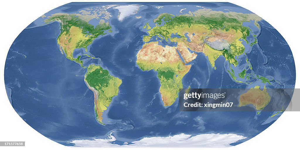
National Border,world map in Robinson Projection - stock photo
High quality 3D render, shaded relief map.Natural colors, Robinson projection.Digital world map Terrain.This photo image is changed by ContributorsThe software to createA!Photoshop

Get this image in a variety of framing options at Photos.com.
PURCHASE A LICENSE
All Royalty-Free licenses include global use rights, comprehensive protection, simple pricing with volume discounts available
$375.00
USD
Getty ImagesNational Border World Map In Robinson Projection High-Res Stock Photo Download premium, authentic National Border,world map in Robinson Projection stock photos from Getty Images. Explore similar high-resolution stock photos in our expansive visual catalogue.Product #:171577658
 Download premium, authentic National Border,world map in Robinson Projection stock photos from Getty Images. Explore similar high-resolution stock photos in our expansive visual catalogue.Product #:171577658
$375$50
Getty Images
In stockDETAILS
Credit:
Creative #:
171577658
License type:
Collection:
E+
Max file size:
8220 x 4110 px (27.40 x 13.70 in) - 300 dpi - 18 MB
Upload date:
Release info:
No release required
Categories:
- World Map,
- Country - Geographic Area,
- Map,
- Satellite View,
- East Asia,
- Europe,
- Textured,
- China - East Asia,
- Relief - Emotion,
- Planet Earth,
- South America,
- Africa,
- Arctic,
- Arts Culture and Entertainment,
- Asia,
- Atlantic Ocean,
- Australia,
- Cartography,
- Communication,
- Cut Out,
- Digitally Generated Image,
- Geographical Border,
- Global,
- Global Communications,
- Globe - Navigational Equipment,
- Horizontal,
- Illustration,
- Indian Ocean,
- Journey,
- North America,
- Pacific Ocean,
- Panoramic,
- Planet - Space,
- Technology,
- The Americas,
- Topography,
- West Asia,
- White Background,