Daegu Satellite Topographic Map 3D Render True Color - stock photo
3D Render of a Topographic Map of Daegu, South Korea.
All source data is in the public domain.
Color and Water texture: Contains modified Copernicus Sentinel data (2021) courtesy of ESA.
URL of source image: https://dataspace.copernicus.eu/explore-data/data-collections/sentinel-data/sentinel-2
Relief texture: SRTM data courtesy of NASA JPL (2020). URL of source image:
https://lpdaac.usgs.gov/products/srtmgl1v003/

Get this image in a variety of framing options at Photos.com.
PURCHASE A LICENSE
All Royalty-Free licenses include global use rights, comprehensive protection, simple pricing with volume discounts available
$375.00
USD
Getty ImagesDaegu Satellite Topographic Map 3d Render True Color High-Res Stock Photo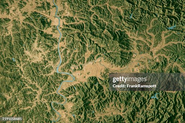 Download premium, authentic Daegu Satellite Topographic Map 3D Render True Color stock photos from Getty Images. Explore similar high-resolution stock photos in our expansive visual catalogue.Product #:2195058685
Download premium, authentic Daegu Satellite Topographic Map 3D Render True Color stock photos from Getty Images. Explore similar high-resolution stock photos in our expansive visual catalogue.Product #:2195058685$375$50
Getty Images
In stockDETAILS
Credit:
Creative #:
2195058685
License type:
Collection:
E+
Max file size:
5800 x 3860 px (19.33 x 12.87 in) - 300 dpi - 21 MB
Upload date:
Location:
South Korea
Release info:
Property released
Categories:
- Topographic Map,
- Topography,
- Map,
- Three Dimensional,
- Aerial View,
- Digitally Generated Image,
- Landscape - Scenery,
- Cartography,
- Color Image,
- Computer Graphic,
- Daegu,
- Digital Composite,
- Directly Above,
- Gyeongsang Province,
- Horizontal,
- Illustration,
- Nakdong River,
- No People,
- Physical Geography,
- Satellite View,
- South Korea,