WI Walworth County Vector Map Green - stock illustration
WI Walworth County Vector Map Green. All source data is in the public domain. U.S. Census Bureau Census Tiger. Used Layers: areawater, linearwater, cousub, pointlm.

Get this image in a variety of framing options at Photos.com.
PURCHASE A LICENSE
All Royalty-Free licenses include global use rights, comprehensive protection, simple pricing with volume discounts available
$375.00
USD
Getty ImagesWi Walworth County Vector Map Green High-Res Vector Graphic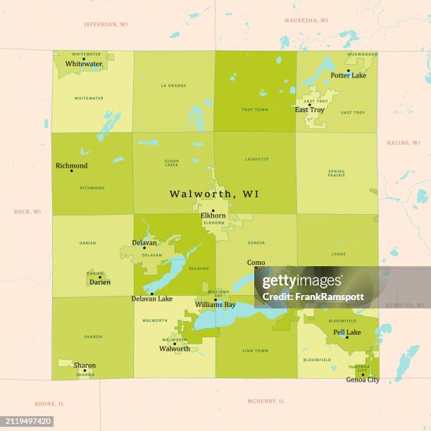 Download premium, authentic WI Walworth County Vector Map Green stock illustrations from Getty Images. Explore similar high-resolution stock illustrations in our expansive visual catalogue.Product #:2119497420
Download premium, authentic WI Walworth County Vector Map Green stock illustrations from Getty Images. Explore similar high-resolution stock illustrations in our expansive visual catalogue.Product #:2119497420$375$50
Getty Images
In stockDETAILS
Credit:
Creative #:
2119497420
License type:
Collection:
DigitalVision Vectors
Max file size:
4925 x 4925 px (16.42 x 16.42 in) - 300 dpi - 7 MB
Upload date:
Location:
United States
Release info:
No release required
Categories: