Map of India showing provinces - stock illustration
Detailed vector map of India with border states, administrative divisions and main cities.

Get this image in a variety of framing options at Photos.com.
PURCHASE A LICENSE
All Royalty-Free licenses include global use rights, comprehensive protection, simple pricing with volume discounts available
$375.00
USD
Getty ImagesMap Of India Showing Provinces High-Res Vector Graphic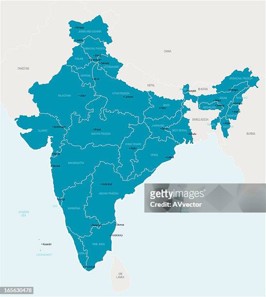 Download premium, authentic Map of India showing provinces stock illustrations from Getty Images. Explore similar high-resolution stock illustrations in our expansive visual catalogue.Product #:165630478
Download premium, authentic Map of India showing provinces stock illustrations from Getty Images. Explore similar high-resolution stock illustrations in our expansive visual catalogue.Product #:165630478$375$50
Getty Images
In stockDETAILS
Credit:
Creative #:
165630478
License type:
Collection:
DigitalVision Vectors
Max file size:
3864 x 4304 px (12.88 x 14.35 in) - 300 dpi - 1 MB
Upload date:
Release info:
No release required
Categories: