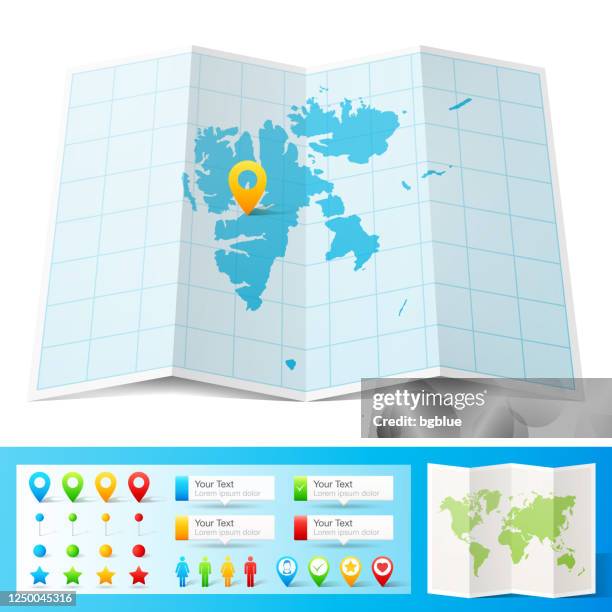
svalbard map folded, isolated on white background - north pole map stock illustrationsSvalbard map folded, isolated on white background
svalbard map designed with lines on white background - north pole map stock illustrationsSvalbard map designed with lines on white background
greenland map. round icon with long shadow on red or blue background - north pole map stock illustrationsGreenland map. Round icon with long shadow on red or blue backgroundMap, North Pole
svalbard map drawn on chalkboard - blackboard - north pole map stock illustrationsSvalbard map drawn on chalkboard - BlackboardSvalbard Islands
map of the world in hemispheres 1898 - north pole map stock illustrationsMap of the world in Hemispheres 1898
greenland map network - bright mesh on dark blue background - north pole map stock illustrationsGreenland map network - Bright mesh on dark blue background
topographic map -- northern hemisphere - north pole map stock illustrationsTopographic Map -- Northern Hemisphere
svalbard map with black outline and shadow on white background - north pole map stock illustrationsSvalbard map with black outline and shadow on white background
svalbard map with long shadow on textured yellow background - north pole map stock illustrationsSvalbard map with long shadow on textured yellow background
greenland map sticker on gray background - north pole map stock illustrationsGreenland map sticker on gray backgroundSticker, Greenland
svalbard map with location pins isolated on white background - north pole map stock illustrationsSvalbard Map with location pins isolated on white Background
earth globe focusing on europe, africa and middle east. - north pole map stock illustrationsEarth globe focusing on Europe, Africa and Middle East.
3d illustration of planet earth, centered on north america. - north pole map stock illustrations3D illustration of planet Earth, centered on North America.
map of svalbard with infographic elements of coronavirus outbreak. covid-19 data. - north pole map stock illustrationsMap of Svalbard with infographic elements of coronavirus outbreak. COVID-19 data.
map of greenland with infographic elements of coronavirus outbreak. covid-19 data. - north pole map stock illustrationsMap of Greenland with infographic elements of coronavirus outbreak. COVID-19 data.
graphic map of the world from north pole orientation - north pole map stock illustrationsGraphic map of the world from North Pole orientationProjection
svalbard maps of dots - 4 different halftone styles - north pole map stock illustrationsSvalbard maps of dots - 4 different halftone stylesArctic, Abstract, Svalbard Islands
svalbard map hand drawn - purple with black outline - trendy design - north pole map stock illustrationsSvalbard map hand drawn - Purple with black outline - Trendy designSvalbard Islands, Vector
map of the world in hemispheres 1877 - north pole map stock illustrationsMap of the world in hemispheres 1877World Map
earth globe focusing on asia. - north pole map stock illustrationsEarth globe focusing on Asia.Globe - Navigational Equipment
map of the world in hemispheres 1898 - north pole map stock illustrationsMap of the world in Hemispheres 1898Old-fashioned, Retro Style, Globe - Navigational Equipment
antique map of the arctic circle on old paper - north pole map stock illustrationsAntique Map of the Arctic Circle on Old Paper
earth globe on meadow, ecology concept - north pole map stock illustrationsEarth globe on meadow, ecology concept
svalbard map icon - flat design with long shadow - north pole map stock illustrationsSvalbard map icon - Flat Design with Long ShadowArctic, Circle, Icon Symbol
earth globe on meadow, ecology concept - north pole map stock illustrationsEarth globe on meadow, ecology concept
the world in hemispheres 1889 - north pole map stock illustrationsThe world in Hemispheres 1889World Map
earth globe focusing on north america and north pole. - north pole map stock illustrationsEarth globe focusing on North America and North Pole.Globe - Navigational Equipment, USA, Map
arctic region map. vector colored map of arctic region - north pole map stock illustrationsArctic Region Map. Vector colored map of Arctic RegionNorth Pole, Map
simple earth globe with americas, europe and africa visible. photorealistic world globe isolated on white. - north pole map stock illustrationsSimple earth globe with Americas, Europe and Africa visible. Photorealistic world globe isolated on white.Globe - Navigational Equipment, Three Dimensional, White Color
antique illustration, mathematics and geometry: chorography, parallel and central projection - north pole map stock illustrationsAntique illustration, mathematics and geometry: Chorography, Parallel and central projectionGlobe - Navigational Equipment, Engraved Image, Engraving
earth globe focusing on north america and north pole. - north pole map stock illustrationsEarth globe focusing on North America and North Pole.Globe - Navigational Equipment, North America, USA
earth globe focusing on north america and north pole. - north pole map stock illustrationsEarth globe focusing on North America and North Pole.Flat Design, Globe - Navigational Equipment, Simplicity
earth globe focusing on the americas. - north pole map stock illustrationsEarth globe focusing on the Americas.Globe - Navigational Equipment, South America, Mexico
earth globe focusing on north america and north pole. - north pole map stock illustrationsEarth globe focusing on North America and North Pole.Globe - Navigational Equipment, North Pole, World Map
earth globe focusing on north hemisphere and prime meridian. africa, asia, europe, north pole, canada, greenland. - north pole map stock illustrationsEarth globe focusing on north hemisphere and prime meridian. Africa, Asia, Europe, North Pole, Canada, Greenland.Globe - Navigational Equipment, World Map, White Background
earth globe focusing on north america and north pole. - north pole map stock illustrationsEarth globe focusing on North America and North Pole.Globe - Navigational Equipment, Simplicity, Wire-frame Model
earth globe focusing on asia. - north pole map stock illustrationsEarth globe focusing on Asia.Globe - Navigational Equipment, Map, Wire-frame Model
earth globe focusing on the americas. - north pole map stock illustrationsEarth globe focusing on the Americas.Globe - Navigational Equipment, Latitude, Three Dimensional
earth globe focusing on north america and north pole. - north pole map stock illustrationsEarth globe focusing on North America and North Pole.Globe - Navigational Equipment, North America
earth globe focusing on asia. - north pole map stock illustrationsEarth globe focusing on Asia.Globe - Navigational Equipment, Half Tone, Monochrome
earth globe focusing on north america and north pole. - north pole map stock illustrationsEarth globe focusing on North America and North Pole.Globe - Navigational Equipment, Canada, USA
simple earth globe with americas, europe and africa visible. - north pole map stock illustrationsSimple earth globe with Americas, Europe and Africa visible.Globe - Navigational Equipment
earth globe focusing on north america and north pole. - north pole map stock illustrationsEarth globe focusing on North America and North Pole.Canada, USA, Alaska - US State
earth globe, northern hemisphere view. - north pole map stock illustrationsEarth globe, northern hemisphere view.North Pole, Globe - Navigational Equipment
earth globe, northern hemisphere view. - north pole map stock illustrationsEarth globe, northern hemisphere view.Globe - Navigational Equipment, North America
map of canada with watercolor texture - raster illustration - north pole map stock illustrationsMap of Canada with Watercolor Texture - Raster IllustrationMap, Canada, Arctic
map of world 1889 - north pole map stock illustrationsMap of world 1889Map, Atlantic Ocean, Illustration
earth globe focusing on north hemisphere and prime meridian. africa, asia, europe, north pole, canada, greenland. - north pole map stock illustrationsEarth globe focusing on north hemisphere and prime meridian. Africa, Asia, Europe, North Pole, Canada, Greenland.Globe - Navigational Equipment, North Pole
arctic region map. vector colored map of arctic region - north pole map stock illustrationsArctic Region Map. Vector colored map of Arctic RegionMap, Arctic
map of world traffic map and currents 1896 - north pole map stock illustrationsMap of world traffic map and currents 1896Chart, Pacific Ocean, Map
earth globe focusing on europe, africa and middle east. - north pole map stock illustrationsEarth globe focusing on Europe, Africa and Middle East.Globe - Navigational Equipment, North Pole, Latitude
the temperatures of the world 1877 - north pole map stock illustrationsThe temperatures of the world 1877Map, Old, Weather
map of the world 1876 - north pole map stock illustrationsMap of the world 1876Old-fashioned, World Map, Old