polar projection of the world map 1856 - north pole map stock illustrationsPolar projection of the world map 1856North Pole, South Pole, Map
earth globe, north pole view. - north pole map stock illustrationsEarth globe, North Pole view.North Pole, Map, Global Business
earth globe focusing on the americas. - north pole map stock illustrationsEarth globe focusing on the Americas.Globe - Navigational Equipment, Map, North America
a simple line drawing of a compass - north pole map stock illustrationsA simple line drawing of a CompassNavigational Compass, North Star, Icon Symbol
fridtjof nansen, norwegian zoologist and polar researcher 1861-1930, german polar explorer, 1837-1908 - north pole map stock illustrationsFridtjof Nansen, Norwegian zoologist and polar researcher 1861-1930, German polar explorer, 1837-1908Fridtjof Nansen, Portrait
map of the world 1881 - north pole map stock illustrationsMap of the World 1881World Map, Old, Old-fashioned
3d rendering of planet earth with clouds, arctic view centered on north pole. - north pole map stock illustrations3D rendering of planet Earth with clouds, arctic view centered on North Pole.
svalbard maps for design - black, outline, mosaic and white - north pole map stock illustrationsSvalbard maps for design - Black, outline, mosaic and whiteSvalbard Islands, Arctic, Line Art
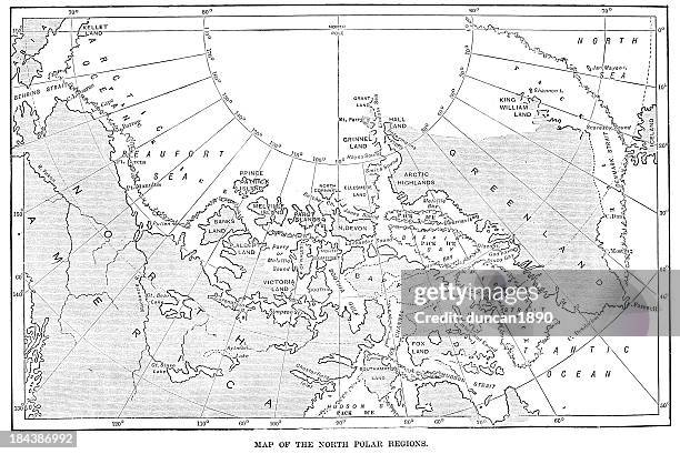
map of the north polar regions - north pole map stock illustrationsMap of the North Polar RegionsMap, Greenland, North Atlantic Ocean
weight of the world three - north pole map stock illustrationsWeight of the world threeOver-Burdened, World Map
3d rendering of planet earth centered on the north pole, starry background. - north pole map stock illustrations3D rendering of planet Earth centered on the North Pole, starry background.Arctic, North Pole, Outer Space
the earth engraving 1877 - north pole map stock illustrationsThe Earth engraving 1877Engraved Image, World Map, Engraving
greenland map on red background with shadow - north pole map stock illustrationsGreenland map on Red background with shadowGreenland, Map, Three Dimensional
earth globe focusing on north hemisphere and prime meridian. africa, asia, europe, north pole, greenland. - north pole map stock illustrationsEarth globe focusing on north hemisphere and prime meridian. Africa, Asia, Europe, North Pole, Greenland.Globe - Navigational Equipment, Monochrome, North Pole
adolf erik nordenskiöld, swedish professor and polar explorer, 1832-1901 , german polar explorer, 1837-1908 - north pole map stock illustrationsAdolf Erik Nordenskiöld, swedish professor and polar explorer, 1832-1901 , German polar explorer, 1837-1908Engraved Image, Engraving, Portrait
earth globe, north pole view. - north pole map stock illustrationsEarth globe, North Pole view.Globe - Navigational Equipment, North Pole, Vector
antique map of the north pole on old paper - 19th century - north pole map stock illustrationsAntique Map of the North Pole on Old Paper - 19th CenturyMap, Old
globe with arrows - north pole map stock illustrationsGlobe with ArrowsGlobe - Navigational Equipment, Arrow Symbol, Illustration
earth and stars in outer space - north pole map stock illustrationsEarth and stars in outer spaceBrazil, Star - Space, Globe - Navigational Equipment
globe line icons. editable stroke. - north pole map stock illustrationsGlobe Line Icons. Editable stroke.
the world on a polar projection 1871 - north pole map stock illustrationsThe world on a polar projection 1871Antique, World Map
simple earth globe with americas, europe and africa visible. - north pole map stock illustrationsSimple earth globe with Americas, Europe and Africa visible.Globe - Navigational Equipment
earth globe focusing on the americas. - north pole map stock illustrationsEarth globe focusing on the Americas.
earth globe focusing on asia. - north pole map stock illustrationsEarth globe focusing on Asia.North Pole, Map
antique german atlas map close up: north pole - north pole map stock illustrationsAntique German atlas map close up: North PoleNorth Pole, Map, World Map
earth globe focusing on the americas. - north pole map stock illustrationsEarth globe focusing on the Americas.Vector, South America, Globe - Navigational Equipment
stippled svalbard map - stippling art - dotwork - dotted style - north pole map stock illustrationsStippled Svalbard map - Stippling Art - Dotwork - Dotted styleMap, Svalbard Islands
antique french map of north pole - north pole map stock illustrationsAntique French map of North PoleMap, Arctic, Engraved Image
greenland map for design on blank background - north pole map stock illustrationsGreenland map for design on blank background
antique map of north pole (1899) - north pole map stock illustrationsAntique map of North Pole (1899)Antique, Arctic, Map
map of canada with watercolor texture - raster illustration - north pole map stock illustrationsMap of Canada with Watercolor Texture - Raster IllustrationCanada, Map, Multi Colored
north pole icons - multi series - north pole map stock illustrationsNorth Pole Icons - Multi SeriesSustainable Lifestyle, Winter, Cold Temperature
3d illustration of planet earth, centered on asia. - north pole map stock illustrations3D illustration of planet Earth, centered on Asia.
earth globe focusing on north america and north pole. - north pole map stock illustrationsEarth globe focusing on North America and North Pole.Three Dimensional, Globe - Navigational Equipment, White Background
full view of the earth derived from avhrr and topographic data. - north pole map stock illustrationsFull view of the Earth derived from AVHRR and topographic data.South America, Map, Europe
map of the land and earth hemispheres 1895 - north pole map stock illustrationsMap of the land and earth hemispheres 1895
the north pole journey of the future - north pole map stock illustrationsThe North Pole Journey of the Future
3d illustration of planet earth, centered on europe. - north pole map stock illustrations3D illustration of planet Earth, centered on Europe.Europe, Middle East
earth globe focusing on the americas. - north pole map stock illustrationsEarth globe focusing on the Americas.Globe - Navigational Equipment, South America, Atlantic Ocean
map climates and seasons in hemispheres 1871 - north pole map stock illustrationsMap climates and seasons in hemispheres 1871Time Zone, Climate, Frozen
map of north pole - north pole map stock illustrationsMap of North PoleOld-fashioned, Retro Style, Book
3d illustration of planet earth, centered on the arctic and north pole. - north pole map stock illustrations3D illustration of planet Earth, centered on the Arctic and North Pole.Map, Permafrost
commercial map of the world 1892 - north pole map stock illustrationsCommercial map of the world 1892World Map
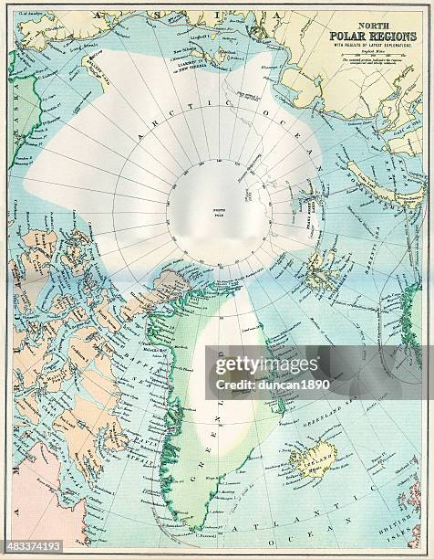
map of the north polar regions - north pole map stock illustrationsMap of the North Polar RegionsMap, Arctic, Greenland
map from old french atlas (1899): north pole - north pole map stock illustrationsMap from old French Atlas (1899): North PoleArctic, Map, Old-fashioned
map of northpole area with greenland russia and canada 1898 - north pole map stock illustrationsMap of Northpole area with greenland Russia and Canada 1898Map, Arctic, Greenland
svalbard maps for design. blank, white and black backgrounds - line icon - north pole map stock illustrationsSvalbard maps for design. Blank, white and black backgrounds - Line iconMap, Svalbard Islands
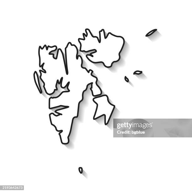
svalbard map with black outline and shadow on white background - north pole map stock illustrationsSvalbard map with black outline and shadow on white backgroundSvalbard Islands, Map
map of siberia 1900 - north pole map stock illustrationsMap of Siberia 1900Map, Siberia, Old-fashioned
antique illustration: fridtjof nansen north pole expedition, franz josef land map - north pole map stock illustrationsAntique illustration: Fridtjof Nansen North Pole Expedition, Franz Josef Land mapMap, Arctic, Franz Josef Land