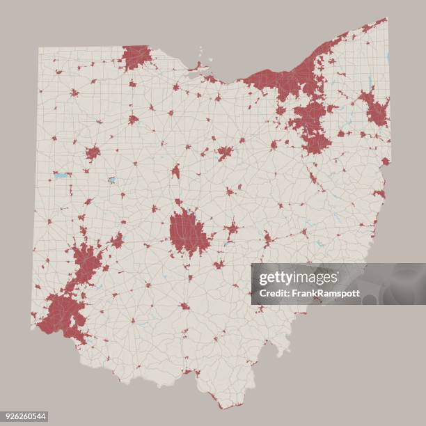
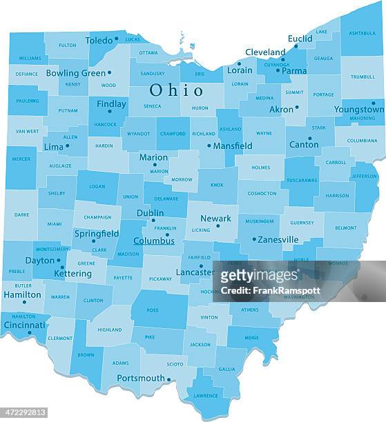
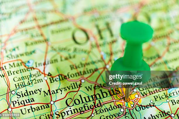
us capital cities on map series: columbus, ohio, oh - columbus ohio map stock pictures, royalty-free photos & images
columbus ohio 3d render map blue top view sept 2019 - columbus ohio map stock pictures, royalty-free photos & images
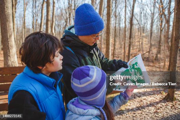
a father and children stand in forest in winter looking at map - columbus ohio map stock pictures, royalty-free photos & images
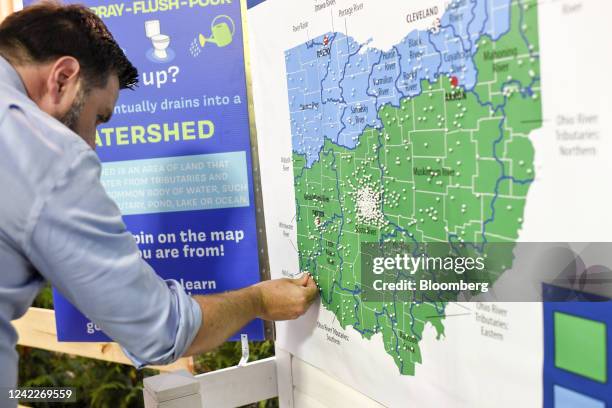
Vance, co-founder of Narya Capital Management LLC and U.S. Republican Senate candidate for Ohio, puts a pin on an interactive map marking the...
franklin county, ohio. maps for design. blank, white and black backgrounds - columbus ohio map stock illustrations
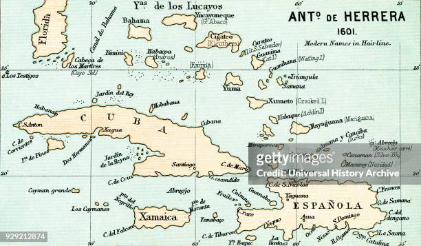
Antonio de Herrera y Tordesillas map of the Bahamas, 1601. From the book Life of Christopher Columbus by Clements R. Markham published 1892.
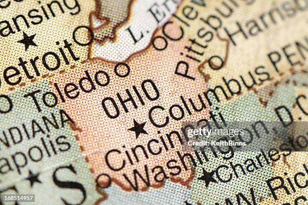
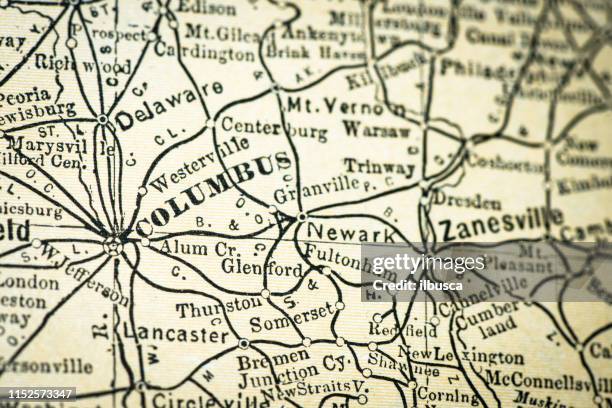
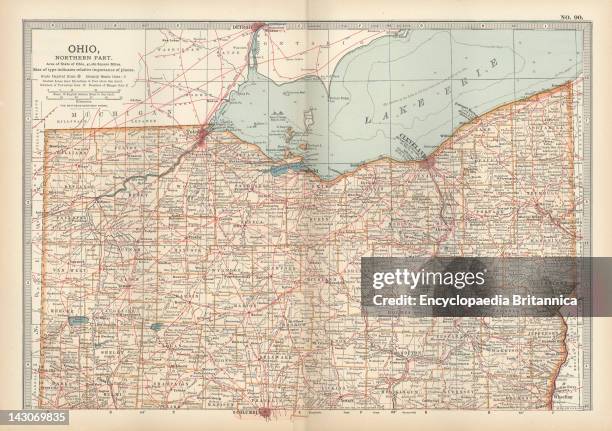
Map Of Northern Ohio, Map Of The Northern Part Of Ohio, United States, Circa 1902, From The 10Th Edition Of Encyclopaedia Britannica.
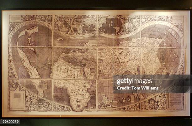
For the first time, a reproduction of the 1507 world map by cartographer Martin Waldseemuller, which gave the name "America" to the new lands...
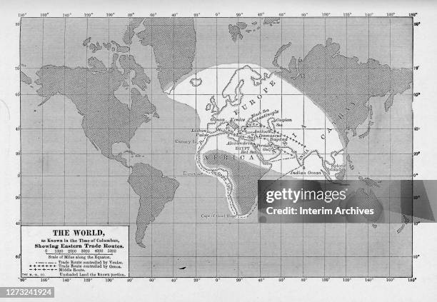
Map showing the known world at the time of Columbus, highlighting the primary eastern trade routes controlled by Venice and Genoa, and the Middle...
Charles de La Ronciere, of the Bibliotheque Nationale of France, has discovered in a file of old Portuguese Maps in the Library a map of the world...
Map of the Spanish coast from Huelva to Cadiz. From the book Life of Christopher Columbus by Clements R. Markham published 1892.
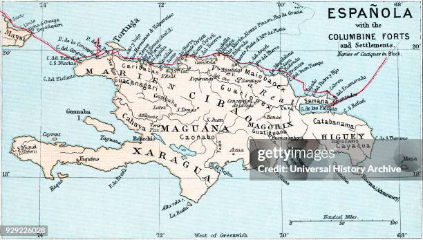
Map of Española with the Columbine Forts and settlements. From the book Life of Christopher Columbus by Clements R. Markham published 1892.